
What is recorded here
Just below the crest of hills between the Nore and Gloshia Rivers, in very rough upland grazing. Depicted on the 1st (1839) ed. OS 6-inch map as a sub-rectangular enclosure (dims. c. 43m N-S; c. 27m E-W) with rounded corners. A field boundary, running NNE-SSW, is shown forming the W side. It is probable that the enclosure continued W side of this field boundary. The enclosure appears to have been levelled before the OS 6-inch revision in 1947. It is not visible at ground level.
Compiled by: Jean Farrelly
Date of upload: 7 November 2018
The monument record does not grant public access. Check the route and ask the landowner before entering private land.
- What survives
- Recorded monument
Places near here
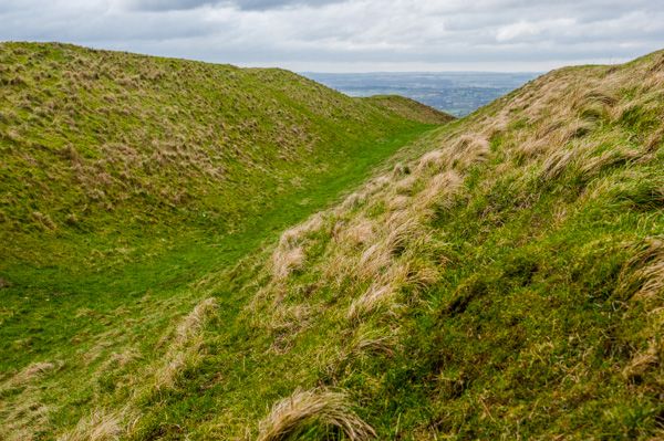 Hillfort in Donaghmore (fassadinin By.),toor MoreHillfort · 447 yd
 Kilmacar Ringfort (rath)Archaeological place · 1464 yd
 Donaghmore WellSpring · 1707 yd
 Church in FinnanChurch · 1.0 mi
 CastleCastle, unclassified · 1.3 mi
 Site of CastleCastle, unclassified · 1.3 mi
 Kilmacar Church (in ruins)Church · 1.3 mi
 Graveyard in SraleaghGraveyard · 1.7 mi
 Anker's IslandIsland · 3.3 mi
 Jenkinstown ParkForest · 4.1 mi
 Graveyard in ThreecastlesGraveyard · 5.1 mi
 Red horse-chestnutRed horse-chestnut · 5.7 mi
Other information
Photo: Credit not shown in the picture search · Rights wording not checked; contact us if this picture should be removed