What is recorded here
No visible remains survive at the stated location, though the area remains designated as a scheduled monument. The land may have worn smooth or been taken into farming long after the enclosure lost its shape. What is certain is that the place still carries a protected identity even when the earth no longer shows the feature that first warranted it.
Situated in a low-lying area at the NW edge of a natural amphitheatre with the inauguration mound of Magh Adhair (CL034-095001-) 45m to the SE. A D-shaped area (c. 13m NW-SE; c. 15m NE-SW) defined by a bank is visible on a Google Earth aerial photograph (taken 5 February 2009, accessed 4 March 2015) conjoined to a ringfort (CL034-095008-) at NE. Ancient field boundaries (CL034-095010-) are visible extending E-W c. 7m to the N of the two enclosures.
Compiled by: Mary Tunney
Date of upload: 4 March 2015
The monument record does not grant public access. Check the route and ask the landowner before entering private land.
- What survives
- Recorded monument
Places near here
 Magh AdhairArchaeological place · 72 yd
 Toberlanniv Holy WellHoly well · 217 yd
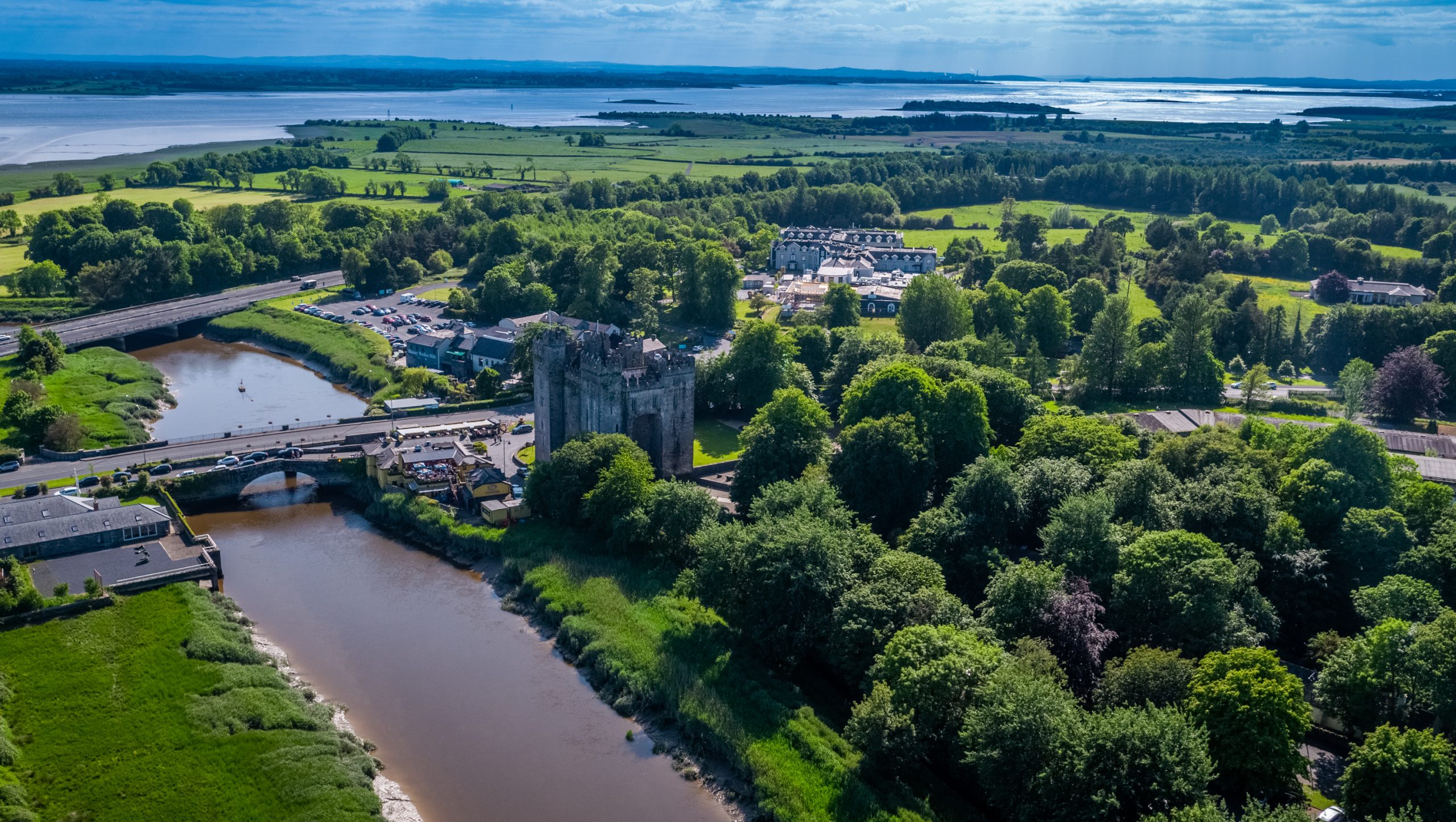 Toonagh Castle (Site of)Castle, unclassified · 551 yd
 Toonagh Househouse · 686 yd
 Corbally Castle (Site of)Castle, unclassified · 1722 yd
 Shankill Church (in ruins)Church · 1.2 mi
 Cloghleagh RockNamed rock · 1.7 mi
 Quin AbbeyHeritage attraction · 2.1 mi
 The RingfortHeritage attraction · 2.5 mi
 Kilcatherine GraveyardWood · 3.7 mi
 Mooghaun WoodsWood · 4.7 mi
 CahercallaFairy fort / stone ringfort · 664 yd