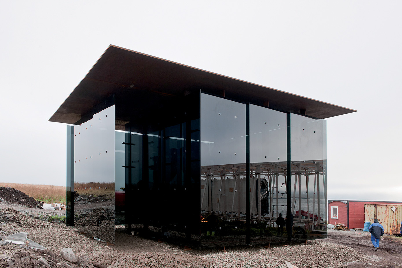
What is recorded here
On the N-facing slope of Rathcroghan ridge. A rectangular grass-covered area (dims c. 10m x c. 8m) defined by slight scarps is c. 100m W of rath (RO022-056023-) and part of the field system (RO022-056025-).
Compiled by: Michael Moore
Date of upload: 24 August 2010
The monument record does not grant public access. Check the route and ask the landowner before entering private land.
- What survives
- Recorded monument
Places near here
 Caran FortFairy fort / earthen ringfort · 136 yd
 RathscregFairy fort / earthen ringfort · 438 yd
 Ancient RoadRoad, road/trackway · 858 yd
 RoadRoad, road/trackway · 1.2 mi
 European ashEuropean ash · 2.6 mi
 ToberagullaSpring · 2.6 mi
 CastlerubyCastle, unclassified · 2.8 mi
 CastleCastle, unclassified · 2.9 mi
 Cruachan Aí Heritage CentreMuseum · 3.0 mi
 War of Independence Commemorative Military MemorialMemorial · 3.8 mi
 Gray's WoodForest · 6.6 mi
 Silver IslandIslet · 7.5 mi
Other information
Photo: Credit not shown in the picture search · Rights wording not checked; contact us if this picture should be removed