What is recorded here
Aerial photo (GSI N 546/545) indicates two rectangular shaped and one circular enclosure. N rectangular enclosure not to be seen at surface level, SE one appears as a slightly raised rectangular area but is unlikely to be of archaeological interest. The circular site (OF011-019001-) is a slight mound (diam c. 20m, max H 0.75m). May possibly be a barrow or merely a natural feature since it is not well defined. On good pasture land beside a drainage stream to the west and
high bog to the south. This site consists of a sub-rectangular area enclosed by a bank
on average 0.5m high and between 4.5m to 3m in width. The interior has a slight indulation in a NE/SW direction. The maximum NS diameter is 45m while the maximum EW diameter measures 34m. Close to the bank on the western side is a masonry ramp which allows access to the stream. This site is located near to the Grand Canal and may in fact be contemporary with the building of the canal.
From the National Monuments Service (Archaeological Survey of Ireland) record OF011-019
The monument record does not grant public access. Check the route and ask the landowner before entering private land.
- What survives
- Recorded monument
Places near here
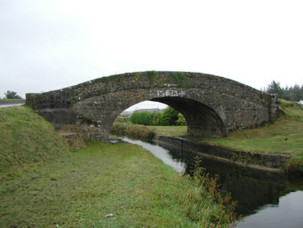 Toberdaly BridgeBridge · 493 yd
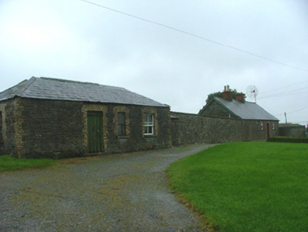 Toberdaly HouseWorker's house · 667 ydOutlinedBawn · 765 ydBull RingEnclosure · 1010 ydVictoria PlantationWood · 1127 ydVictoria PlantationWood · 1255 ydClonin EarthworksMountain / peak · 1.5 mi
 Downan Grave YardGraveyard · 2.4 miCroghan Hill WalkWalking route · 2.6 miCroghan Hill WalkVisitor information · 2.7 mi
 Croghan HillMountain / peak · 2.7 mi
 Castle JordanArchaeological place · 6.3 mi
Pictures: National Inventory of Architectural Heritage; Kenneth Gallery Smyth, Geograph · Creative Commons Attribution-ShareAlike 2.0; Sarah777 at en.wikipedia, Wikimedia Commons · Public domain; Mike Searle, Geograph · CC BY-SA 2.0
More archaeology and monuments in County Offaly · All of County Offaly
What do you know about this place?