What is recorded here
Situated on slight E facing slope in pasture. Raised, roughly rectangular area (32m E-W; 20m N-S) enclosed by a wide, low bank of earth and stone (Wth 4.55; H 0.3m). There is no fosse visible at ground level. From SE-SW, the bank is absent and the edge of the site is defined by a drystone field wall with a scarp beneath. Original entrance not recognisable.
From the National Monuments Service (Archaeological Survey of Ireland) record SL013-041
The monument record does not grant public access. Check the route and ask the landowner before entering private land.
- What survives
- Recorded monument
Places near here
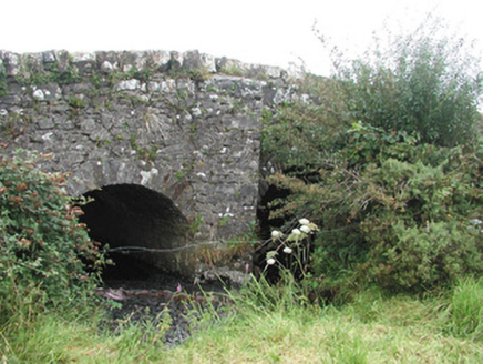 Ardnaglass BridgeBridge · 612 ydIndicatedFairy fort / earthen ringfort · 678 yd
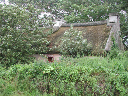 P. BreheneyHouse · 798 ydEnclosure in LaraghEnclosure · 885 yd
 Dunmoran StrandBeach / strand · 1242 ydCastleCastle, Anglo-Norman masonry castle · 1541 yd
 Aughris BeachBeach / strand · 1.4 mi
 Aughris HeadHeadland · 2.3 miBawn in CarrowbrickeenBawn · 2.6 mi
 Sligo BayBay · 3.8 mi
 European ash4.2 mi
 Strandhill BeachBeach / strand · 4.9 mi
Pictures: National Inventory of Architectural Heritage; Colin Park, Geograph · CC BY-SA 2.0; Michael Dibb, Geograph · CC BY-SA 2.0; Paul Burns, Geograph · CC BY-SA 2.0; Pampuco, Wikimedia Commons · CC BY-SA 4.0; Willow, Wikimedia Commons · CC BY 2.5; Oliver Dixon, Geograph · CC BY-SA 2.0
More archaeology and monuments in County Sligo · All of County Sligo
What do you know about this place?