What is recorded here
In grassland atop high ground in upland area with good extensive views in all directions. No surface remains visible of monument which is indicated on the 1st ed. OS 6-inch map as a partial enclosure (approx. diam. 50m N-S) surviving from S through W to N only and not indicated on any other sides, field boundary intersected S end of enclosure on an E-W axis, is not indicated on latest ed. OS 6-inch map. Monument probably levelled totally between 1840 and 1953-4 ed. OS 6-inch maps. Impressive hilltop siting sets this monument apart from other enclosures and ringforts in the area, may have been a hilltop enclosure. Cahill describes the monument as being levelled with a cottage built on the levelled monument (Cahill 1982, vol. 2) however, the cottage appears to have been built close to the enclosure with its present boundary intersecting the N side of the levelled monument.
Compiled by: Jean Farrelly
Date of upload: 26 August 2011
The monument record does not grant public access. Check the route and ask the landowner before entering private land.
- What survives
- Recorded monument
Places near here
 RathancooleenCastle, ringwork · 608 yd
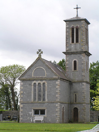 Saint Catherine's Catholic Chapelchurch/chapel · 820 yd
 Catholic Church of the Immaculate Conceptionchurch/chapel · 852 yd
 Synone CastleCastle · 1629 yd
 Settlement desertedSettlement deserted, medieval · 1.1 mi
 Grave YardGraveyard · 1.1 mi
 Ballyknock HillMountain / peak · 2.4 mi
 Rock of CashelHeritage attraction · 3.1 mi
 Cormac's ChapelHeritage attraction · 3.2 mi
 The Rock Of CashelVisitor information · 3.2 mi
 Black mulberryBlack mulberry · 3.3 mi
 European ashEuropean ash · 5.1 mi