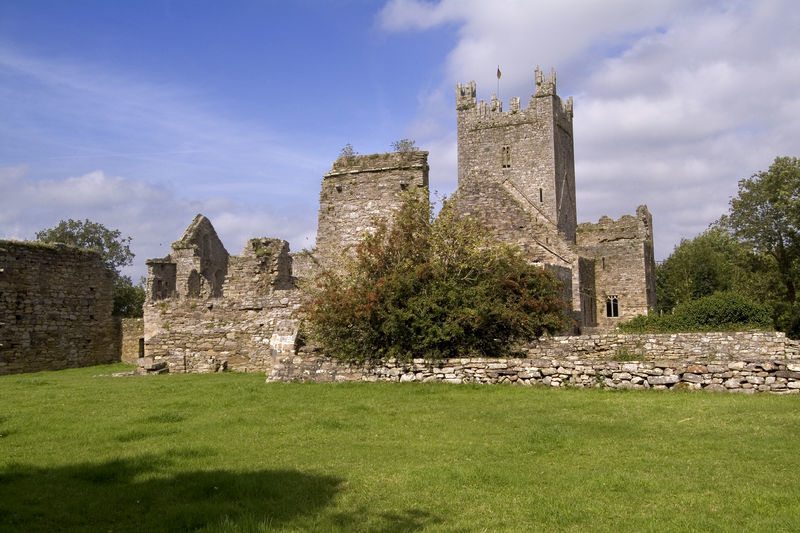
What is recorded here
In level pasture - farm road to W. Slight trace of rectangular area (dims. c. 32m N-S; c. 35m E-W) defined by very slight rise of levelled bank - only barely visible due to short grass. Slight depression to N appears natural. Identified by aerial photograph (GSI R.513/512, 16.4.1974). Not shown on 1st ed. OS 6-inch map. Enclosure (TS068-034----) located c. 300m to SW; Earthwork (TS068-114----) located c. 400m to SE.
Compiled by: Jean Farrelly
Date of upload: 26 August 2011
The monument record does not grant public access. Check the route and ask the landowner before entering private land.
- What survives
- Recorded monument
Places near here
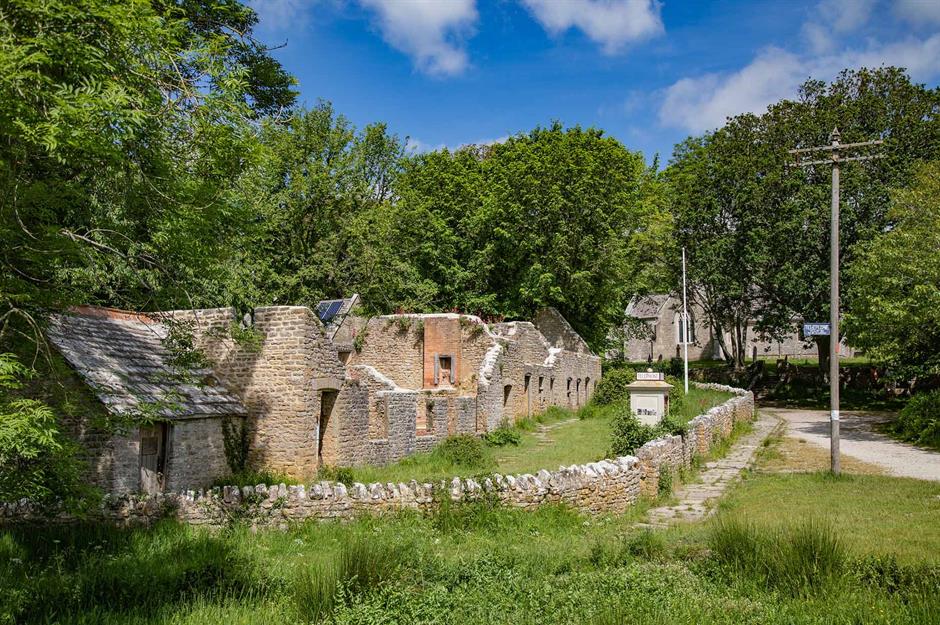 Enclosure in Thomastown Demesne SouthEnclosure · 296 yd
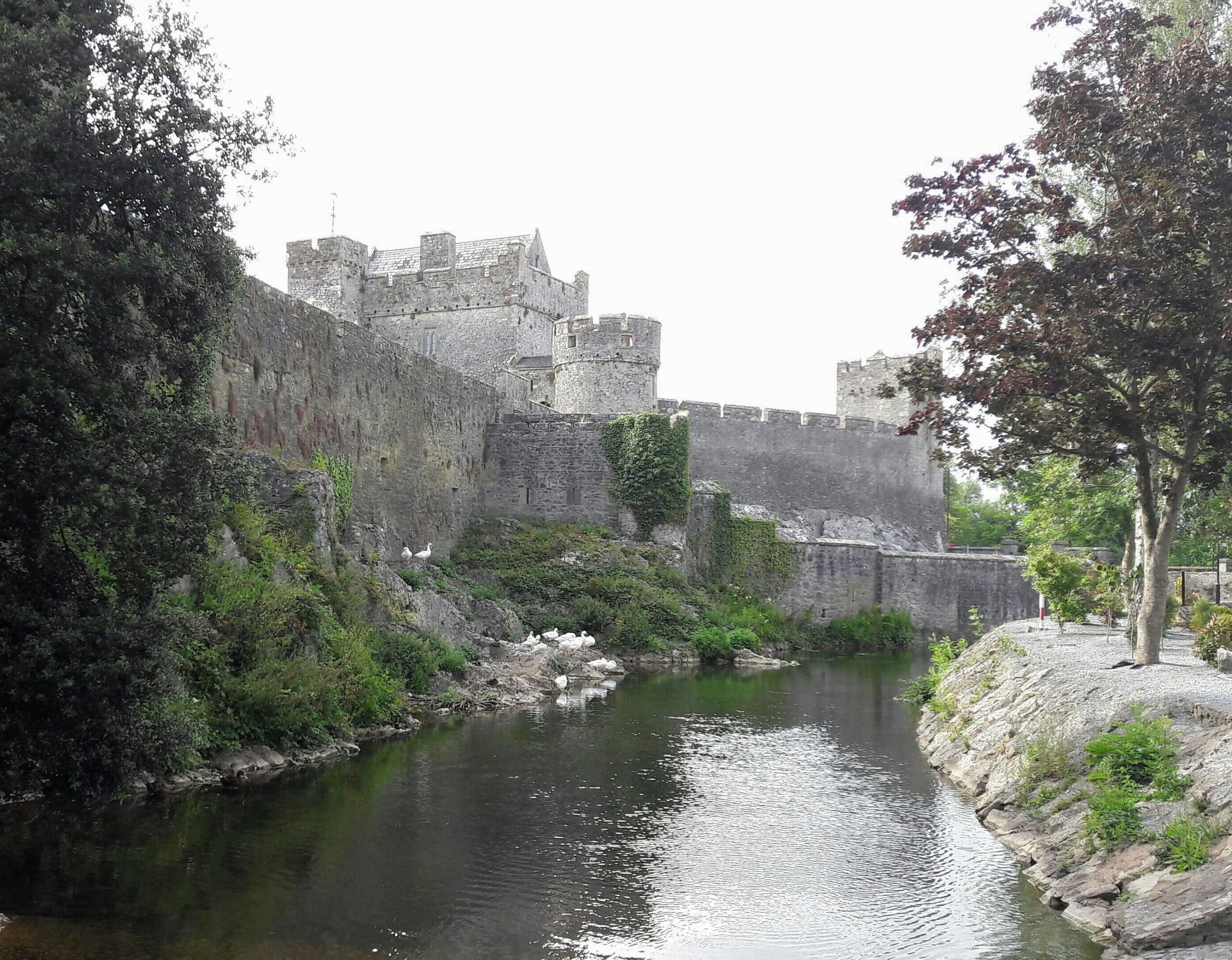 Ballymacady CastleCastle · 789 yd
 CastleCastle, ringwork · 818 yd
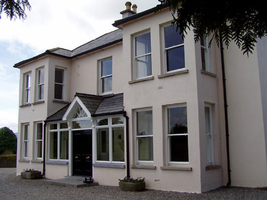 Rathduff Househouse · 910 yd
 RathcooleFairy fort / earthen ringfort · 1232 yd
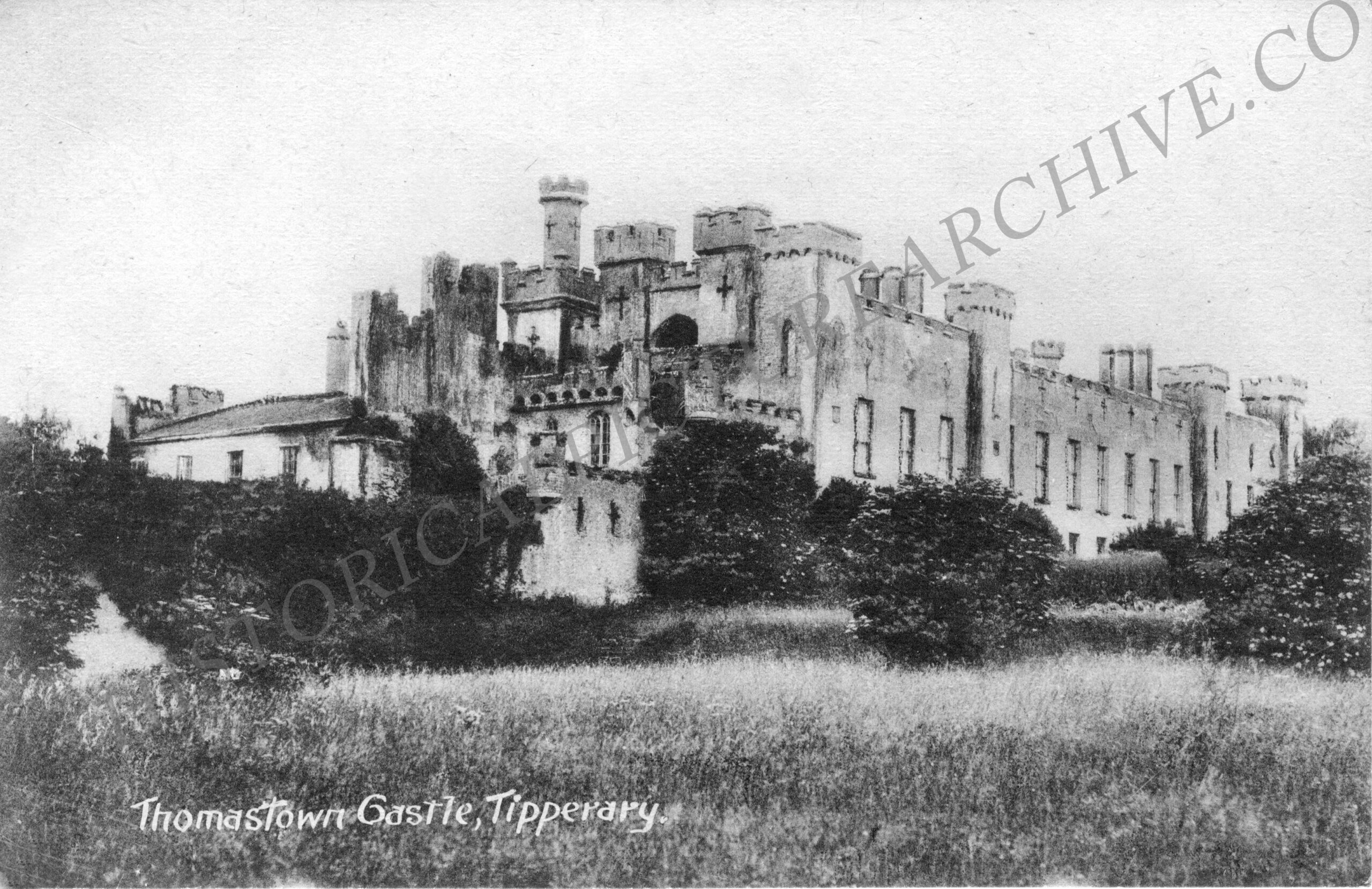 Thomastown Church (in ruins)Church · 1513 yd
 Athassel PrioryHeritage attraction · 2.1 mi
 European ashEuropean ash · 3.1 mi
 Bansha ForestForest · 3.9 mi
 I.R.A. 3rd. Tipperary Brigade MemorialMemorial · 4.8 mi
 SturrakeenMountain / peak · 5.5 mi
 The RockViewpoint · 5.7 mi
Other information
Photo: Credit not shown in the picture search · Rights wording not checked; contact us if this picture should be removed