
What is recorded here
Enclosure in Thomastown Demesne South is an enclosure in Thomastown Demesne South, County Tipperary, Ireland. The 1969 aerial photograph showed a curvilinear feature with a chord of about 50 metres, but the 2011 account recorded that the earthwork is not visible at ground level. A natural mound, roughly 32 metres north-south and 44 metres east-west, sits on the south-facing slope and may have served as a vantage point toward Ballymacady Castle to the west.
In pasture, on S-facing slope of low rise, in gently rolling landscape. Not visible at ground level. Natural mound (dims. c. 32m N-S; c. 44m E-W) possibly utilised as vantage point to locate enclosure and Ballymacady Castle (TS068-032001-) to immediate W. No obvious enclosure visible to E or W of castle. Pond to WNW and ESE. Field boundary (long-axis NNE-SSW) to W, between enclosure and castle. Originally identified as a curvilinear feature (Chord c. 50m) on aerial photograph (CUCAP 10 July 1969, AYO 49). Enclosure (TS068-005----) c. 240m to NE.
Compiled by: Jean Farrelly
Date of upload: 26 August 2011
The monument record does not grant public access. Check the route and ask the landowner before entering private land.
- What survives
- Recorded monument
Places near here
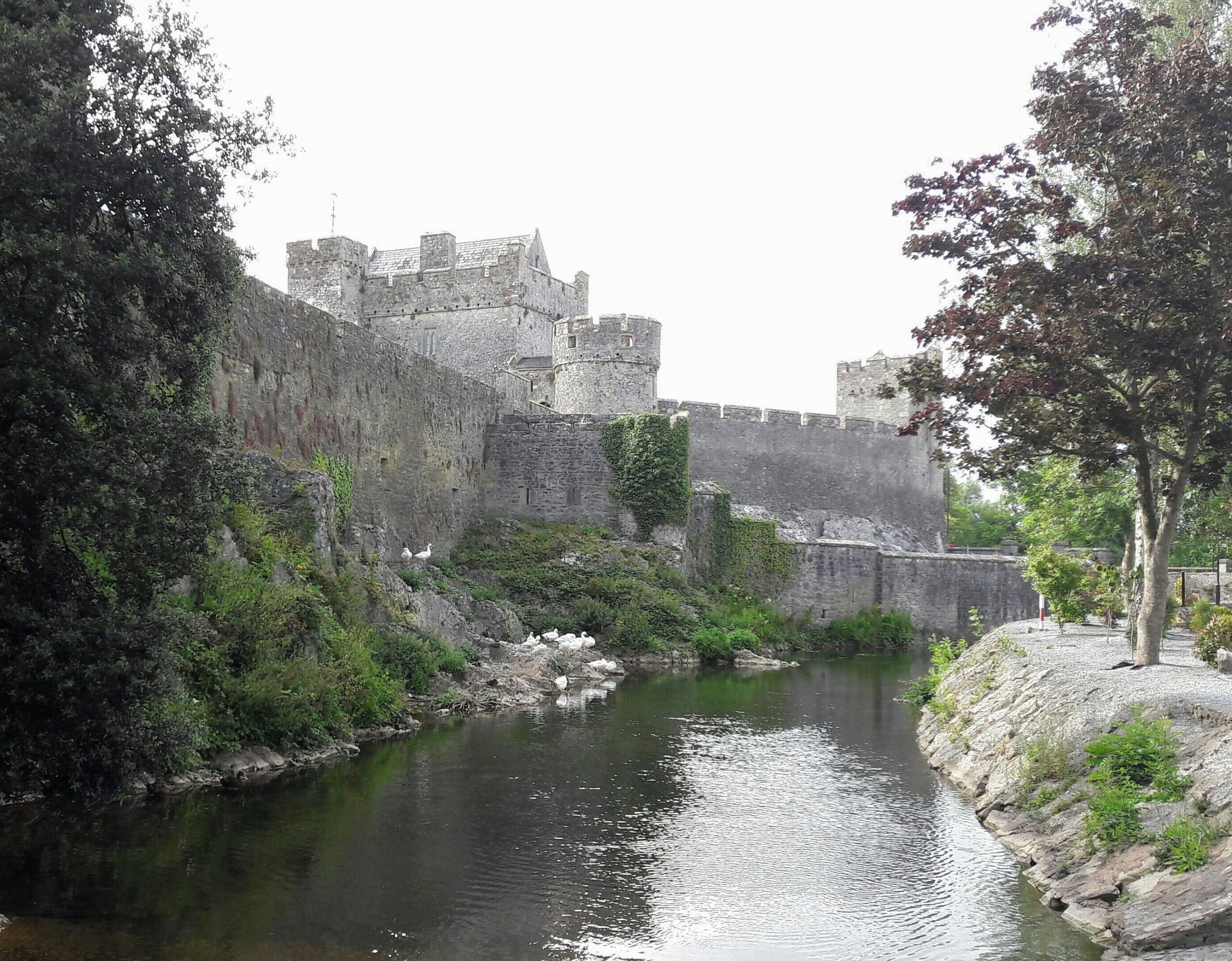 Ballymacady CastleCastle · 68 yd
 CastleCastle, ringwork · 334 yd
 Enclosure in Thomastown Demesne SouthEnclosure · 540 yd
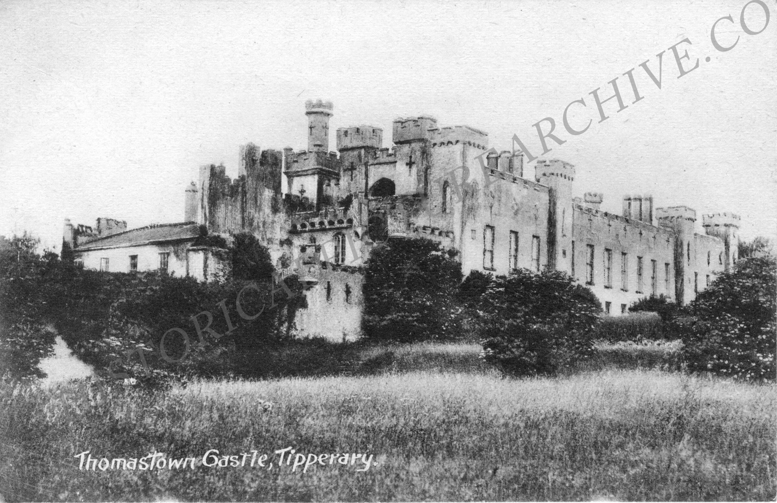 Thomastown Church (in ruins)Church · 1072 yd
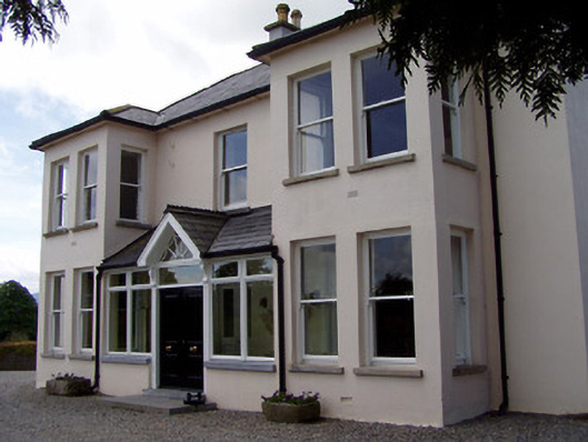 Rathduff Househouse · 1134 yd
 Enclosure in Thomastown Demesne NorthEnclosure · 1242 yd
 Athassel PrioryHeritage attraction · 2.4 mi
 European ashEuropean ash · 2.7 mi
 Bansha ForestForest · 3.7 mi
 I.R.A. 3rd. Tipperary Brigade MemorialMemorial · 4.5 mi
 The RockViewpoint · 5.5 mi
 SturrakeenMountain / peak · 5.7 mi
Other information
Photo: Credit not shown in the picture search · Rights wording not checked; contact us if this picture should be removed