
What is recorded here
Marked as a small oval embanked enclosure on the 1835 ed. of the OS 6-inch map. It is situated on a small rise, and is known locally as 'Raheen'. This is an overgrown oval platform (dims c. 17m E-W; 11.5m N-S) defined by a scarp (H 2-4m) but there is no indication of a bank, fosse or original entrance. Mass rock (LE001-066----) is c. 45m to the W.
The above description is derived from 'The Archaeological Inventory of County Leitrim' compiled by Michael J. Moore (Dublin: Stationery Office, 2003). In certain instances the entries have been revised and updated in the light of recent research.
Date of upload: 23 September 2008
The monument record does not grant public access. Check the route and ask the landowner before entering private land.
- What survives
- Recorded monument
Places near here
 Mass-rock in TawlyMass-rock · 64 yd
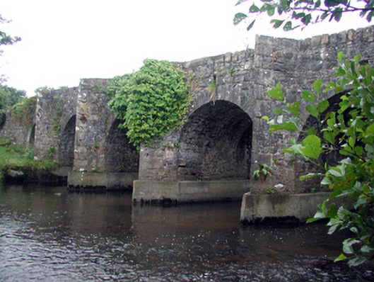 Mary's Bridgebridge · 991 yd
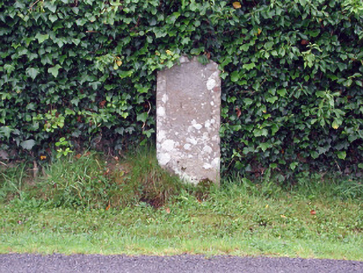 milestone/milepostmilestone/milepost · 1425 yd
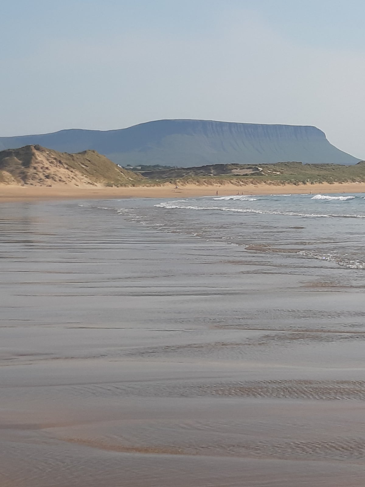 Man-made underground passage in BunduffMan-made underground passage · 1560 yd
 Creevykeel Court TombNeolithic court tomb · 1.4 mi
 Classiebawn WoodsWood · 2.3 mi
 Unbaptised Children MonumentMemorial · 2.3 mi
 assassination of Louis Mountbatten, 1st Earl Mountbatten of Burmaassassination · 2.6 mi
 Giant's GraveArchaeological place · 2.7 mi
 Cormac Reagh's HoleCave · 2.8 mi
 Gleniff Horseshoe Drive 2Viewpoint · 2.9 mi
 Gleniff Horseshoe DriveViewpoint · 3.0 mi
Other information
Photo: Credit not shown in the picture search · Rights wording not checked; contact us if this picture should be removed