What is recorded here
Dooncaha and Tarmon West still hide the lost enclosure, a vast rectangular shadow stretching from the mail road to the border. A day fence once marked its edges, but time and forgetting have consumed most of the line. Any landlord named in local story is no longer than the fence itself, present only in the shape of what disappeared.
According to Denis and Josephine Holly (1981), an enclosure of 360m long and 108m wide extended from the mail road to the border of Dooncaha. 'A day fence, approximately one metre high and 3.1 metres wide, surrounds this area, but large portions of it have now disappeared. There is a legend that a landlord lived here in days gone by.' No surface trace could be found.
The above description is derived from C. Toal, ‘North Kerry Archaeological Survey’. Dingle. Brandon in association with FAS Training and Employment Authority (1995), no. 1032. In certain instances the entries have been revised and updated in the light of recent research.
Date of upload: 3 August 2013
The monument record does not grant public access. Check the route and ask the landowner before entering private land.
- What survives
- Recorded monument
Places near here
 LissymilleenArchaeological place · 1.3 mi
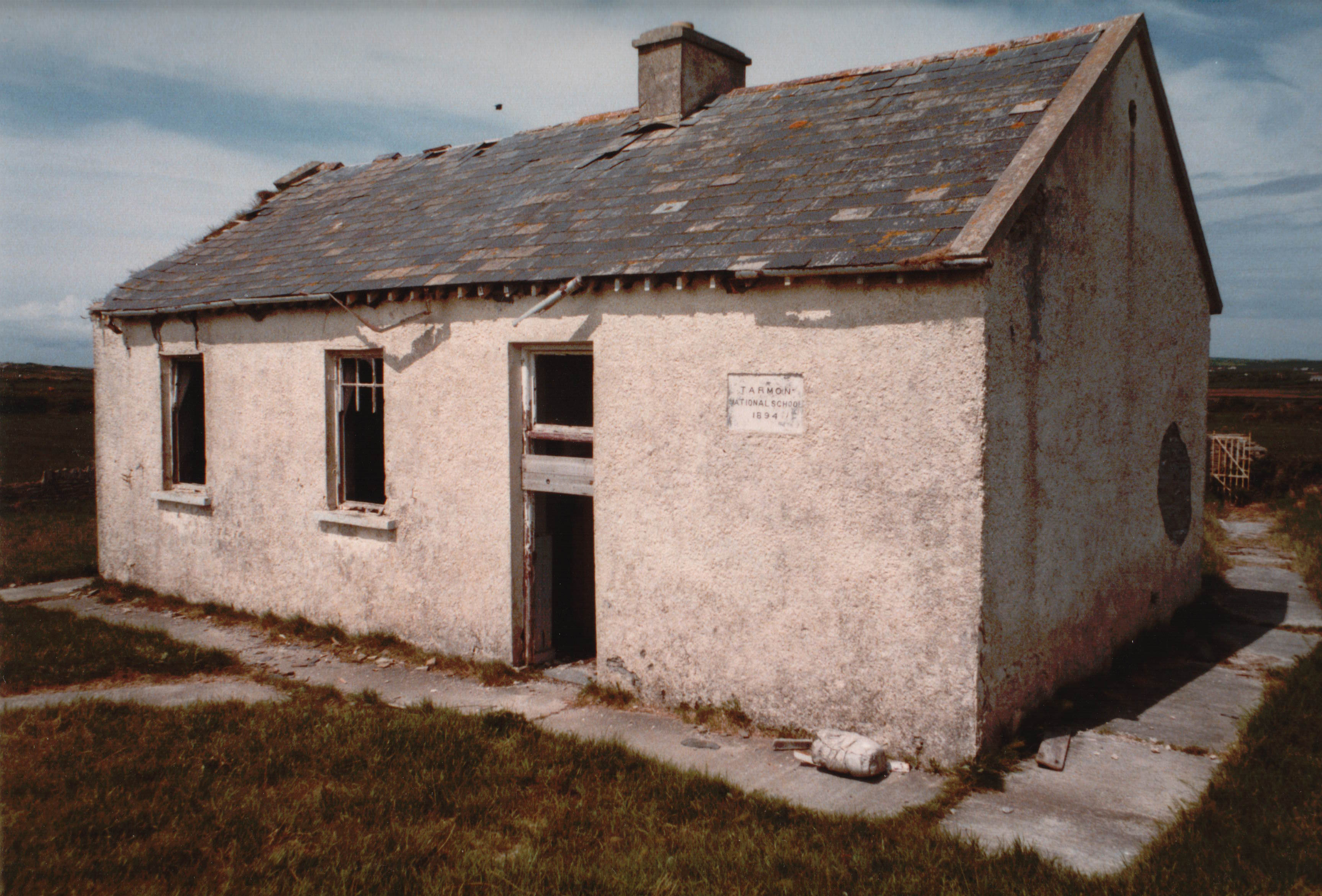 Enclosure in Tarmon EastEnclosure · 1.3 mi
 Tarmon Castle (in ruins)Castle, unclassified · 1.4 mi
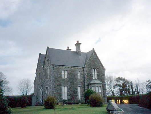 The Presbyterypresbytery/parochial/curate's house · 2.6 mi
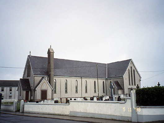 Saint Mary's Catholic Churchchurch/chapel · 2.6 mi
 Castle (in ruins)Castle, unclassified · 3.2 mi
 Tarbet BayBay · 3.3 mi
 Siege of Carrigafoyle Castlesiege · 5.3 mi
 Carrig IslandIsland · 5.6 mi
 Ballymacrinan BayBay · 6.0 mi
 Lawson's CypressLawson's Cypress · 6.3 mi
 Mountshannon WoodWood · 6.7 mi