What is recorded here
In flat poorly drained grassland with good views in all directions, ringfort (TS053-031----) 200m to W. It is depicted as a circular enclosure on the 1st (18430 ed. OS 6-inch map and on the 2nd (1953-4) ed. (map dims. c. 35m N-S) the E quadrant has been truncated by the driveway up to Synone House. This truncation is also depicted on a sketch plan and section of the monument drawn in 1953, where the monument appears to be enclosed by a bank or scarp surmounted by a field boundary (OS Field Memorandums). No surface remains visible of levelled enclosure.
Compiled by: Jean Farrelly
Date of upload: 26 August 2011
The monument record does not grant public access. Check the route and ask the landowner before entering private land.
- What survives
- Recorded monument
Places near here
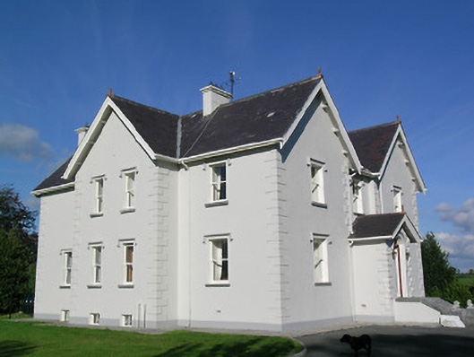 Synone Househouse · 367 yd
 Synone CastleCastle · 947 yd
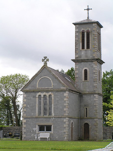 Saint Catherine's Catholic Chapelchurch/chapel · 978 yd
 RathancooleenCastle, ringwork · 1436 yd
 Enclosure in NodstownEnclosure · 1.0 mi
 Settlement desertedSettlement deserted, medieval · 1.5 mi
 Ballyknock HillMountain / peak · 2.6 mi
 Rock of CashelHeritage attraction · 3.5 mi
 Cormac's ChapelHeritage attraction · 3.5 mi
 The Rock Of CashelVisitor information · 3.5 mi
 Black mulberryBlack mulberry · 3.6 mi
 Clonoulty HillMountain / peak · 4.4 mi