What is recorded here
Aerial photograph (GB91.EX.17) shows faint traces of an incomplete enclosure defined by two fosses adjoining the graveyard (WX053-035003-) on its southern side.
From the National Monuments Service (Archaeological Survey of Ireland) record WX053-035006
The monument record does not grant public access. Check the route and ask the landowner before entering private land.
- What survives
- Recorded monument
Places near here
Photo credits
- National Inventory of Architectural Heritage
- Ojsyork, Wikimedia Commons · CC BY 4.0
- User Ali-oops on en.wikipedia, Wikimedia Commons · GFDL
- DeFacto, Wikimedia Commons · CC BY-SA 4.0
- Cozzmick, Wikimedia Commons · CC BY-SA 4.0
Hut site in St. Vogue'sHut site · 54 ydHole of the ForlornBeach / strand · 372 ydThe Caravan RockNamed rock · 745 ydThe CaamstoneNamed rock · 1152 ydCastleCastle, tower house · 1403 yd Clougheast CottageHouse · 1739 ydfarm house1.0 miThe Chour / The Hill of the ChourMountain / peak · 1.2 miLifeboat MemorialMemorial · 1.6 miCarne BeachBeach / strand · 1.6 miWindmill (Corn) (Disused)Windmill · 3.4 miCastleCastle, tower house · 4.0 mi
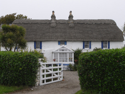 Clougheast CottageHouse · 1739 yd
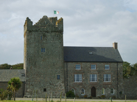 farm house1.0 miThe Chour / The Hill of the ChourMountain / peak · 1.2 mi
 Lifeboat MemorialMemorial · 1.6 mi
 Carne BeachBeach / strand · 1.6 mi
 Windmill (Corn) (Disused)Windmill · 3.4 mi
 CastleCastle, tower house · 4.0 mi
More archaeology and monuments in County Wexford · All of County Wexford
What do you know about this place?