
What is recorded here
In level improved tillage – local mapped field boundaries and woodland have been removed. Although not recorded on the 1st ed. (1839) of the OS 6-inch map, the monument is shown on the latest ed. (1909) as a raised oval area (est. max. diams. c. 50m NE-SW; c. 45m NW-SE) defined by a scarp. No visible surface trace survives, but a 1968 aerial photograph (CUCAP AVM020) shows the cropmark of a fosse enclosing a roughly circular area, and the same cropmark is also visible on a 1990 aerial photograph by Dr. Gillian Barrett (GB90.BC.06).
Cropmark of levelled enclosure visible on Digital Globe aerial photograph and on Google Earth imagery taken 28/06/2018.
See attached image of Google Earth photographs taken 28/06/2018 which shows cropmark of the two circular enclosures based on information supplied by Anthony Murphy
Compiled by: Gearóid Conroy
Revised by: Caimin O'Brien
Date of revised upload: 19 February 2019
The monument record does not grant public access. Check the route and ask the landowner before entering private land.
- What survives
- Recorded monument
Places near here
 Enclosure in Skerries NorthEnclosure · 138 yd
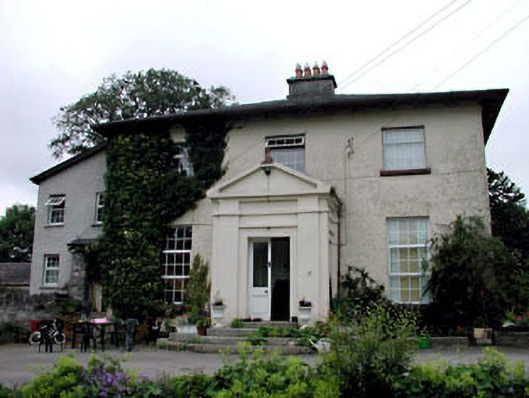 Skerries Housefarm house · 284 yd
 IndicatedEnclosure · 1524 yd
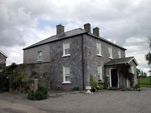 Moat Lodgefarm house · 1.2 mi
 Ardscull MoatCastle, motte · 1.5 mi
 European BeechEuropean Beech · 1.5 mi
 History of Moat of ArdscullVisitor information · 1.5 mi
 Gorden Bennet Race memorialMemorial · 1.5 mi
 Derryvullagh IslandForest · 1.9 mi
 CastleCastle, unclassified · 2.6 mi
 Battle of Kilrushbattle · 3.4 mi
 Zoltan Zinn-Collis memorialMemorial · 3.9 mi
Other information
Photo: Credit not shown in the picture search · Rights wording not checked; contact us if this picture should be removed