What is recorded here
Enclosure in Skecoor is a rectangular ditched site in County Galway grassland that once held a chapel according to both maps and tradition. The surviving banks and fosse mark a small deliberate boundary overlooking marshy land, while the chapel itself has vanished from the ground. A fort may have become a worship place, or a worship place may have been misread as a fort; either way the site still shapes the landscape through absence as much as through its remaining earth.
In undulating grassland overlooking marshy land to the E. Depicted on the 1838 edition of the OS 6-inch map as a roughly trapezoidal-shaped enclosure named 'fort' in Gothic script. The following is appended in Roman script: 'site of R.C. Chapel'. On the OS 1:2500 plan (surveyed 1912-16) the 'Site of' symbol for the 'R.C Chapel' is shown within the interior of the enclosure. On inspection only a rectangular enclosure (18.5m N-S; E-W 15.5m), in fair condition, was visible. It is defined by two banks and an intervening fosse. No visible surface trace of the outer bank survived along the N side. There was no visible surface trace of the chapel (GA107-181002-) within the interior.
Compiled by: Galway Archaeological Survey, UCG
Updated by: Olive Alcock
Date of revised upload: 3 April 2020
The monument record does not grant public access. Check the route and ask the landowner before entering private land.
- What survives
- Recorded monument
Places near here
 site of R.C. ChapelChapel · 1 yd
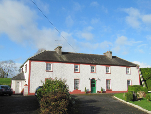 Raheen Househouse · 664 yd
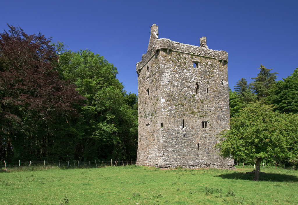 Lissatogher FortsFairy fort / earthen ringfort · 778 yd
 Skycur Househouse · 924 yd
 European YewEuropean Yew · 2.4 mi
 MoatCastle, motte and bailey · 2.5 mi
 European BeechEuropean Beech · 2.7 mi
 Ballymore CastleCastle, tower house · 2.8 mi
 Redmond HillMountain / peak · 4.1 mi
 The bloody HollowHeritage attraction · 6.1 mi
 Ballymacegan IslandIsland · 6.1 mi
 Urraghry HillMountain / peak · 6.3 mi