What is recorded here
Shronebeha holds a forgotten ringfort on an NNE-facing slope, now buried under tillage and reclamation. Local memory keeps a white thorn bush marking the site until 1994, when work removed the last visible clue. The land still leans toward the light, but the enclosure has given up its shape to ploughs and time.
In tillage, on NNE-facing slope. According to local information, site of ringfort marked until 1994 by white thorn bush, since removed by reclamation works.
The above description is derived from the published 'Archaeological Inventory of County Cork. Volume 4: North Cork' (Dublin: Stationery Office, 2000). In certain instances the entries have been revised and updated in the light of recent research.
Date of upload/revision: 14 January 2009
The monument record does not grant public access. Check the route and ask the landowner before entering private land.
- What survives
- Recorded monument
Places near here
 Father Murphy's Bridgebridge · 528 yd
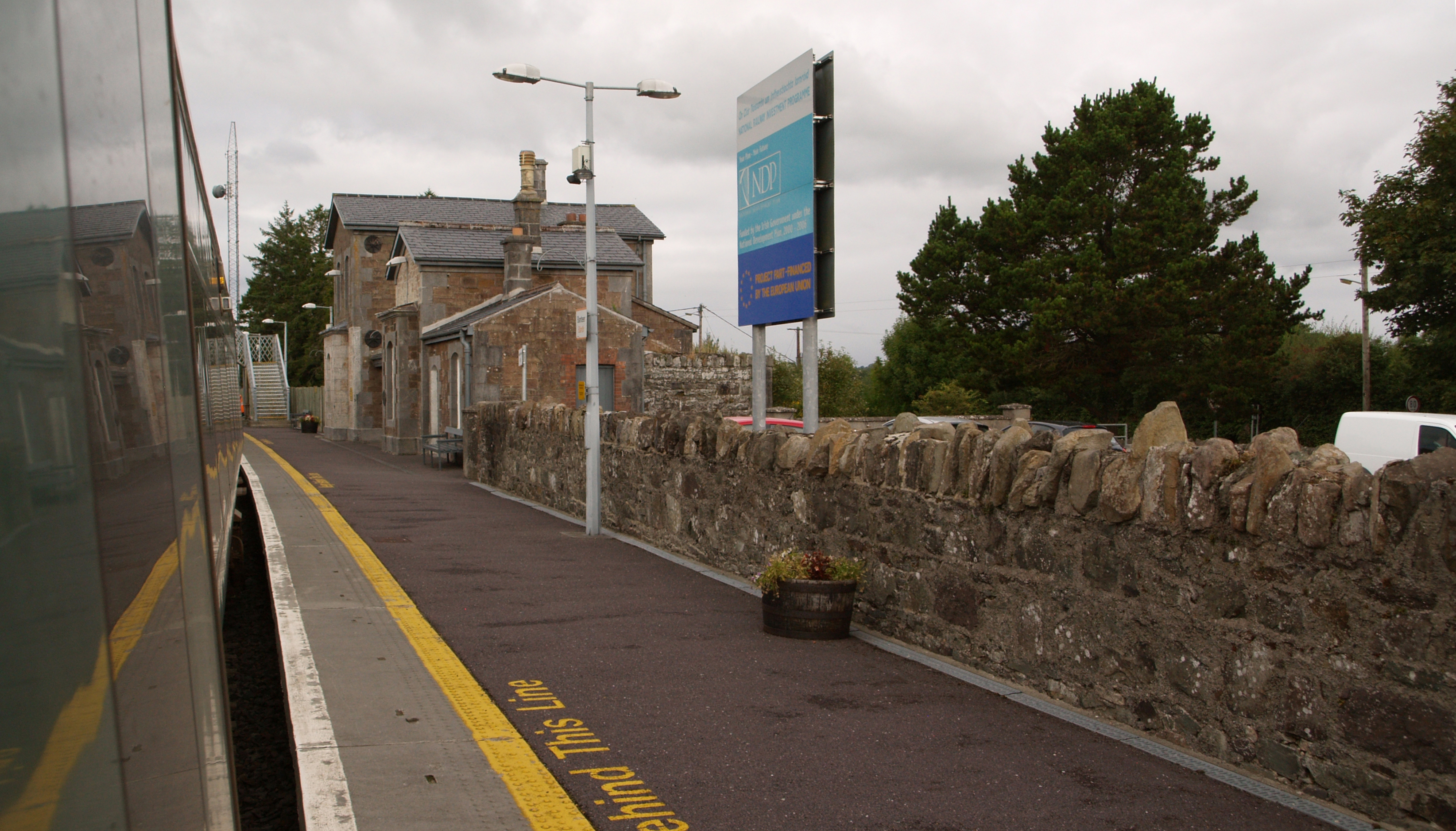 IndicatedHouse, vernacular house · 1348 yd
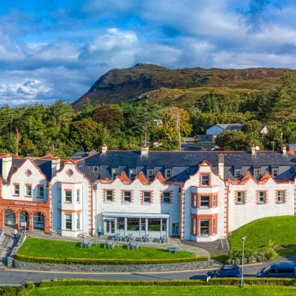 Enclosure in Tooreen (duhallow By.)Enclosure · 1403 yd
 Burnt spread in FermoyleBurnt spread · 1553 yd
 Mount Hillary - Father Murphy LoopWalking route · 1.6 mi
 Mount Hillary - Mount Hillary LoopWalking route · 1.7 mi
 Clonmeen Court (Site of)House, fortified house · 2.1 mi
 St Fursey's WellSpring · 2.2 mi
 Mount HillaryMountain / peak · 2.3 mi
 CastleCastle, unclassified · 2.4 mi
 Battle of Knocknaclashybattle · 2.5 mi
 Kanturk CastleHeritage attraction · 3.7 mi