What is recorded here
Partial remains of a large enclosure in rough grazing just to the east of cleared fields and to the west of semi mature forestry. It is situated on a level area on a north facing slope with a stream running to the east at its base. The valley rises to the west and the summit of Shehy Mountain. The enclosure would have been roughly circular in plan but the eastern half has been cleared probably during the making of the field adjacent to it. It has a N-S D of 24m. The enclosing wall is made of single stones with a maximum H of 0.9m. Complide by: Tony Miller
Date of upload: 2 March 2016
Partial remains of a large enclosure in rough grazing just to the east of cleared fields and to the west of semi mature forestry. It is situated on a level area on a north facing slope with a stream running to the east at its base. The valley rises to the west and the summit of Shehy Mountain. The enclosure would have been roughly circular in plan but the eastern half has been cleared probably during the making…
From the National Monuments Service (Archaeological Survey of Ireland) record CO093-110
The monument record does not grant public access. Check the route and ask the landowner before entering private land.
- What survives
- Recorded monument
Places near here
Photo credits
- National Inventory of Architectural Heritage
- Mike Searle, Wikimedia Commons · CC BY-SA 2.0
- Richard Fensome, Geograph · CC BY-SA 2.0
- mozzercork @ flickr, Wikimedia Commons · CC BY 2.0
- Jane Carver, Wikimedia Commons · CC BY-SA 2.0
- Willow, Wikimedia Commons · CC BY 2.5
- Hywel Williams, Geograph · CC BY-SA 2.0
- Mike Searle, Geograph · CC BY-SA 2.0
- Mac McCarron, Geograph · Creative Commons Attribution-ShareAlike 2.0
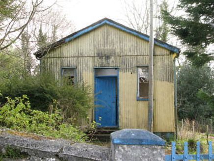 Coolmountain SchoolSchool · 1.1 miGortnahoughtee Mass RockNamed rock · 1.6 mi
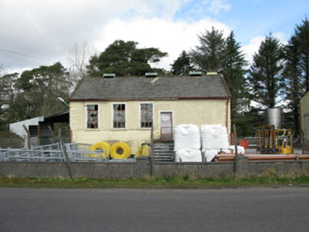 Togher CreameryCreamery · 2.7 mi
 Togher CastleCastle, tower house · 3.1 mi
 Doughill MountainMountain / peak · 3.9 mi
 Carrignacurra CastleCastle · 5.1 mi
 Gougane BarraValley and heritage place · 5.6 mi
 Nowen HillMountain / peak · 5.8 mi
 European ash5.8 mi
 GallaunsStone circle, five-stone · 8.3 mi
 Kealkill stone circleVisitor information · 8.3 mi
 Graveyard9.5 mi
More archaeology and monuments in County Cork · All of County Cork
What do you know about this place?