What is recorded here
Enclosure in Shanballymore Lower is a complex ditched site with a central circular fosse, a spiralling middle ditch, and a broad outer oval ditch. The radial lines between the ditches suggest small fields or ritual divisions rather than ordinary farming. It resembles early ecclesiastical enclosures elsewhere in North Cork, so the place may have served worship, gathering, or controlled use of land.
Cropmark of large complex enclosure visible in aerial photographs (CASAP, July 1989; CUCAP, AYP91). Central cropmark of fosse of roughly circular enclosure (diam. c. 30m) enclosed by second spiralling fosse which is in turn enclosed by outer oval fosse (diam. c. 150m). Area between two outer fosses and area of overlap of spiral fosse divided radially into small fields. Cropmark of possible ringfort (13171) to S in area between two outer fosses. Linear cropmarks adjacent to site may be levelled field boundaries. Very similar in morphology and size to early ecclesiastical enclosures at Bawnmore North (13876), Killeenemer (13882) and Lag (13889).
The above description is derived from the published 'Archaeological Inventory of County Cork. Volume 4: North Cork' (Dublin: Stationery Office, 2000). In certain instances the entries have been revised and updated in the light of recent research.
Date of upload/revision: 14 January 2009
The monument record does not grant public access. Check the route and ask the landowner before entering private land.
- What survives
- Recorded monument
Places near here
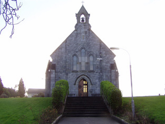 Church of Christ the Kingchurch/chapel · 618 yd
 TumulusCairn, unclassified · 663 yd
 Ruane Castle (Site of)Castle, unclassified · 874 yd
 IndicatedCastle, tower house · 893 yd
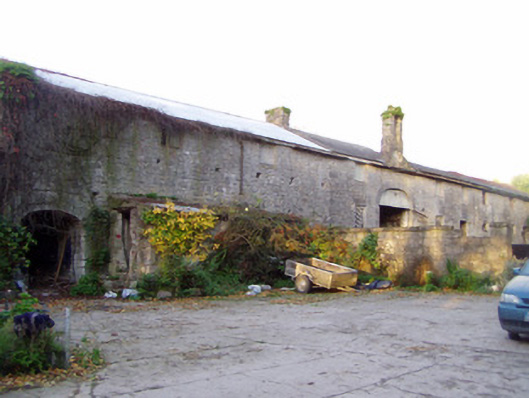 Shanballymore Housefarmyard complex · 923 yd
 Cist in Shanballymore UpperCist · 1005 yd
 Anne's Grove GardensHeritage attraction · 1.5 mi
 Horse Field WoodForest · 1.9 mi
 North Meadow WoodForest · 2.1 mi
 Flat cemetery in Ballyenahan NorthFlat cemetery · 2.8 mi
 Graveyard in BoherashGraveyard · 5.1 mi
 St Dominick's WellSpring · 5.2 mi