What is recorded here
Enclosure in Shanaclogh East is a roughly circular earthwork in County Limerick, reduced to a low platform above marshy pasture after its rampart was levelled and its fosse filled. In 1935 F.T. Reilly cut trenches through the site, exposing a charcoal layer, red deer bones, an iron pin and a possible dwelling foundation, while waterlogged drains stopped further descent into the fosse. The place still appears as a faint circle in aerial images, holding the shape of a home that marsh, drainage and time have almost erased.
In pasture, immediately SW of a road that marks the townland boundary with Oolahills East and 40m S of Shanaclogh House. Located in the NE quadrant of a field system (LI033A006001-), Oola Castle (LI033A008002-) and earthwork (LI033A008001-) lie 330m to the NE and a deserted medieval village (LI033A007----) lies 380m to the NE. Not marked on OSi historic maps. In 1935 excavations were carried out on this earthwork by F.T. Reilly, following the discovery of a pin by the farmer while digging in the fosse a few years previously (NMI Topographical Files). Reilly described the monument as follows; ‘Owing to the levelling of the rampart and the filling of the fosse, the fort now consists of a roughly circular platform, some 80 feet [24.3m] in diameter, situated on part of a natural rise and elevated about two feet [0.6m] above the surrounding marshy country. The fosse, where not obliterated, is marked by a wide shallow depression.’
Three trenches were excavated one in the interior and two extending through the site. The excavation was described as follows; 'The North-South trench was 130 feet [39.6m] long; 4 feet [1.2m] wide and averaged 3½ feet [1m] deep. The East-West trench was 154 feet [46.9m] long, 3ft. [0.9] wide and averaged 3 feet deep.’ Excavations in the fosse recorded ‘a layer of 12-18 inches [0.3-0.45m] of barren, tough, stony clay overlying an irregular though continuous charcoal stratum. From this level were recovered many bones of animals use for food, including red deer. Artefacts included; a portion of a broken quern; an iron pin; a mass of iron. No trace of any earlier occupation of the site was found; the under-lying stony clay appeared to be undisturbed subsoil.’ The depth of the fosse could not be obtained due to waterlogged conditions and drains. Excavations in the interior were ‘48 [14.6m] by 6 feet [1.8m], immediately to the South of the East-West axis was cleared to the level of undisturbed earth, disclosing an irregular line of stones which may form portion of the foundation of a dwelling. Artefacts from this area included: a flint arrowhead; fragments of flint pebbles; and a bone marrow scarper.’ (Riley NMI File). The monument is visible as a circular enclosure on oblique aerial photographs taken 20/07/1968 and 10/07/1969 (CUCAP AVT046; AYO038). The partially levelled monument is visible on OSi orthophotograph taken between 2005-12 and on Google Earth orthoimage dated 11/03/2014. A circular-shaped area is visible on OSi orthophotograph taken between 2005-12 to the immediate S of the monument, however the excavations recorded drains at the site and some of these cropmarks may represent post-1700 drainage works associated with landscaping of lands belonging to Shanaclogh House.
See attached CUCAP aerial photographs and Google Earth orthoimages.
Compiled by: Fiona Rooney
Date of Upload: 22 April 2021
The monument record does not grant public access. Check the route and ask the landowner before entering private land.
- What survives
- Recorded monument
Places near here
 Shanaclough Househouse · 166 yd
 Field system in Shanaclogh EastField system · 172 yd
 Oola Castle (in ruins)Castle, tower house · 388 yd
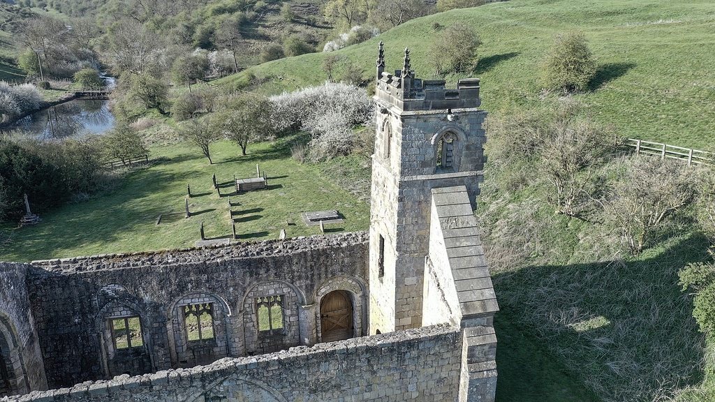 Settlement desertedSettlement deserted, medieval · 603 yd
 Oola HillMountain / peak · 794 yd
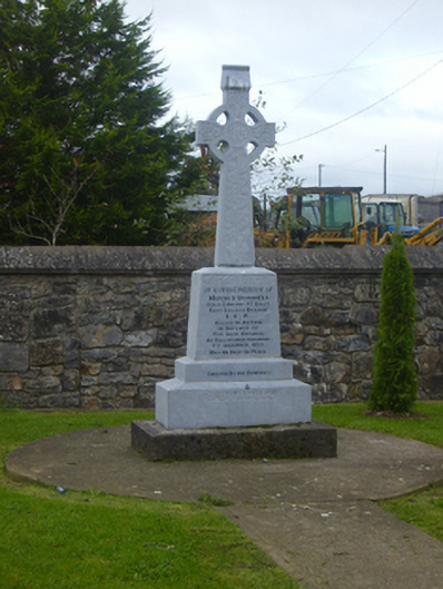 O'Donnell Monumentmonument · 1356 yd
 CastleCastle, ringwork · 1677 yd
 ToberagaddySpring · 4.5 mi
 St. Patrick's WellSpring · 6.6 mi
 Kilteely HillMountain / peak · 6.7 mi
 Flat cemetery in Knockainy WestFlat cemetery · 9.7 mi
 BarrowBarrow, ring-barrow · 869 yd