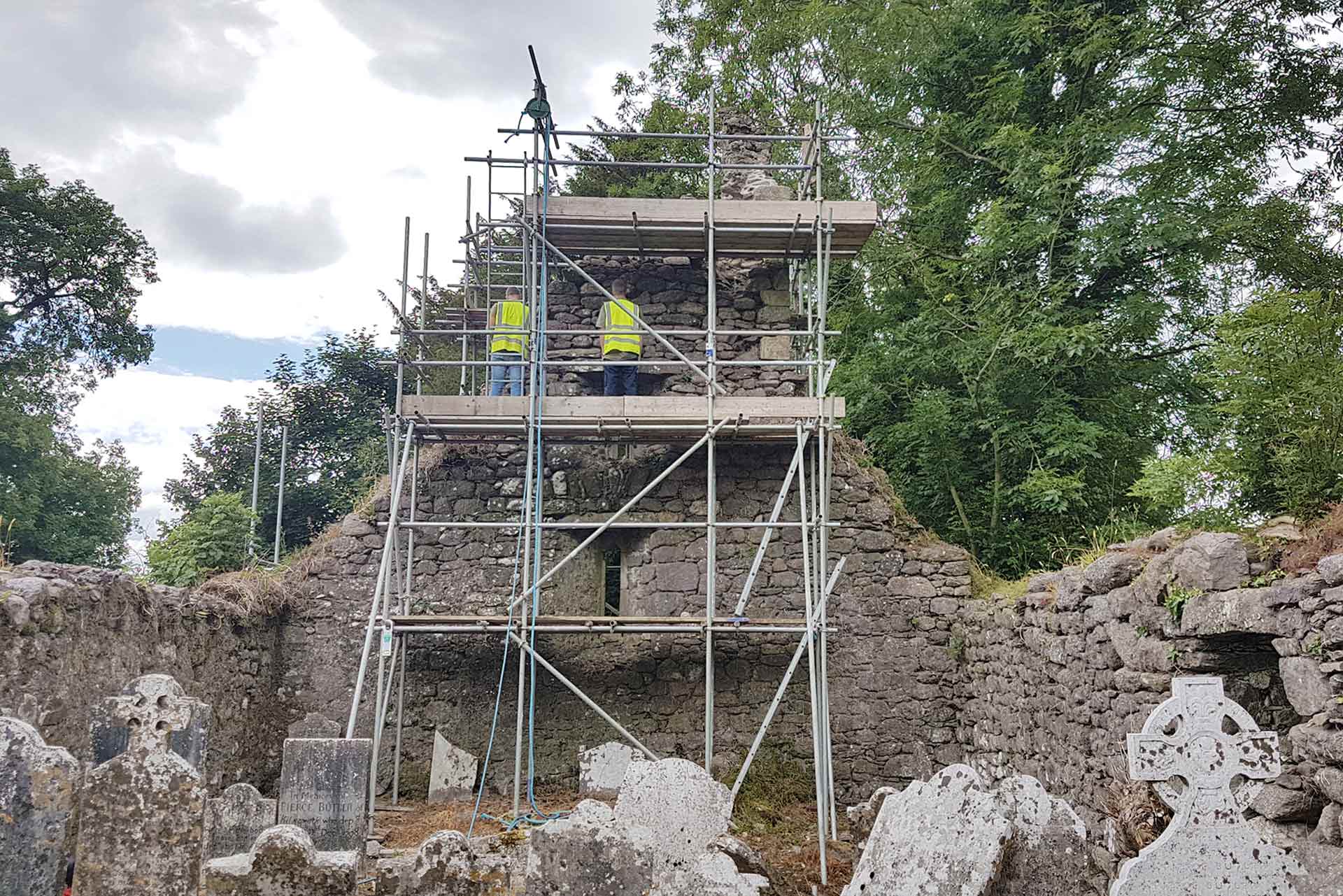
What is recorded here
Seskin Lower holds a ghost circle forty metres wide, drawn on an 1839 map but erased from the living land. That absence is not nothing; it is a chamber waiting for memory. The cartographer saw a ringfort, perhaps misreading a hillshade or a buried ditch. Yet distance and shape are facts, while purpose remains a question. The enclosure may have guarded a well, marked a boundary, or served a family no longer named. Its disappearance does not diminish it; it completes the test. A place that cannot be photographed may still structure attention. In seskin lower, the missing circle becomes a living measure of imagination.
The following description is derived from the published 'Archaeological Inventory of County Carlow' (Dublin: Stationery Office, 1993). In certain instances the entries have been revised and updated in the light of recent research.
Date of upload/revision: 17 July 2007
Shown on 1839 'OS 6-inch' map as circular enclosure (est max. diam. c. 40m). No visible surface traces. Possibly a ringfort.
The monument record does not grant public access. Check the route and ask the landowner before entering private land.
- What survives
- Recorded monument
Places near here
 Enclosure in CranavonaneEnclosure · 1247 yd
 Enclosure in CoolnakishaEnclosure · 1264 yd
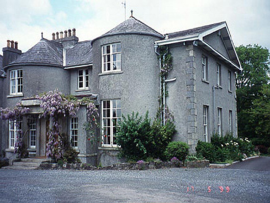 Rathvinden Househouse · 1.0 mi
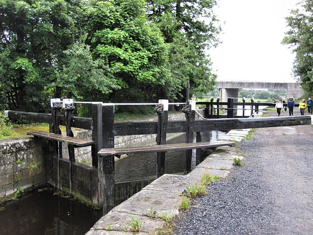 Rathvinden Locklock · 1.1 mi
 Black Castle (in ruins)Castle, tower house · 1.3 mi
 Graveyard in Tomard Lower (3 Detached Portions)Graveyard · 1.4 mi
 Church, GraveyardChurch · 1.4 mi
 Common LimeCommon Lime · 2.5 mi
 Gallows HillMountain / peak · 2.9 mi
 Lock Keeper's House and Lodge MillsVisitor information · 3.5 mi
 Dunleckny Ho.Castle, unclassified · 3.6 mi
 Sweet ChestnutSweet Chestnut · 3.6 mi
Other information
Photo: Credit not shown in the picture search · Rights wording not checked; contact us if this picture should be removed