What is recorded here
Visible on aerial photographs (ASIAP (14) 19-24, 32 and 34) taken by M. Moore on the 02/08/1996.
Aerial photograph (GB89.Y.14) shows cropmark of a sub-circular enclosure with an internal fosse and external bank, and with a curvilinear annexe also defined by an internal fosse and external bank. One of a group of three curvilinear enclosures in close proximity (CW011-018/019).
The monument record does not grant public access. Check the route and ask the landowner before entering private land.
- What survives
- Recorded monument
Places near here
 Enclosure in CranavonaneEnclosure · 768 yd
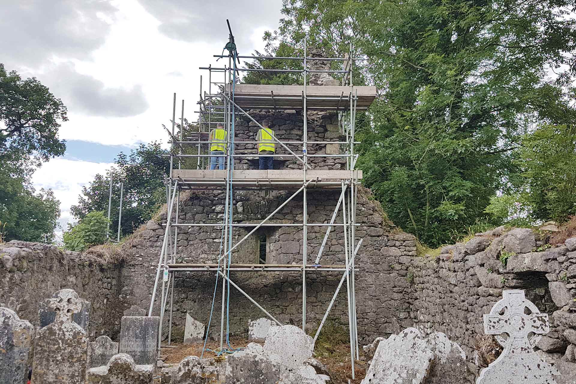 Enclosure in Seskin LowerEnclosure · 1264 yd
 Graveyard in Tomard Lower (3 Detached Portions)Graveyard · 1431 yd
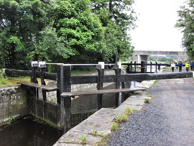 Rathvinden Locklock · 1.5 mi
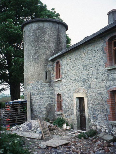 The Tower Housefarm house · 1.5 mi
 Black Castle (in ruins)Castle, tower house · 1.9 mi
 Church, GraveyardChurch · 2.1 mi
 Gallows HillMountain / peak · 2.5 mi
 Common LimeCommon Lime · 2.7 mi
 Clogrenan CastleCastle, tower house · 3.6 mi
 Sweet ChestnutSweet Chestnut · 4.1 mi
 Lock Keeper's House and Lodge MillsVisitor information · 4.2 mi
Other information
Photo: Credit not shown in the picture search · Rights wording not checked; contact us if this picture should be removed