What is recorded here
In pasture, on steep SW-facing slope. Depicted as hachured circular raised area (diam. c. 20m) on 1936 OS 6-inch map. Slightly oval area (23m NW-SE; 20m NE-SW) defined by low rise W->SW; field boundary SW->W. Slight external depression noted to NE and ESE may be evidence for fosse. Second low rise recorded to NE may be evidence for second bank. Burnt mound material from fulacht fiadh (11600) incorporated into S side of enclosure. Interior slopes down to SW.
The above description is derived from the published 'Archaeological Inventory of County Cork. Volume 4: North Cork' (Dublin: Stationery Office, 2000). In certain instances the entries have been revised and updated in the light of recent research.
Date of upload/revision: 14 January 2009
The monument record does not grant public access. Check the route and ask the landowner before entering private land.
- What survives
- Recorded monument
Places near here
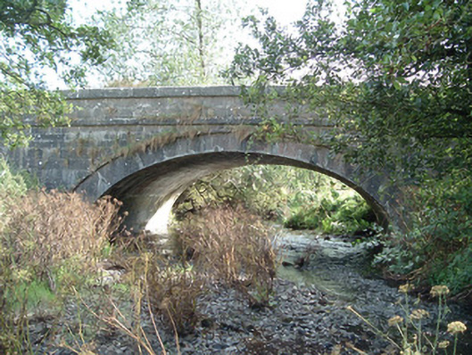 Aldworth's Bridgebridge · 479 yd
 The Video Libraryschool · 712 yd
 Fulacht FiadhFulacht fia · 718 yd
 Trinity WellHoly well · 878 yd
 CastleCastle, unclassified · 1286 yd
 Castle McAuliffe (Site of)Castle, unclassified · 1.4 mi
 Stanner's Glen, Priory WoodWood · 2.4 mi
 KnockacummerMountain / peak · 4.8 mi
 TaurMountain / peak · 5.0 mi
 Hanna SheehyMemorial · 5.1 mi
 Kanturk CastleHeritage attraction · 5.9 mi
 Burial ground in AssolasBurial ground · 7.7 mi