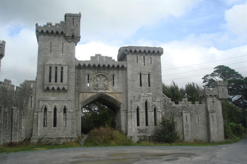
What is recorded here
Duckett’s Grove House stands less than a mile north, its roofless shell still casting a shadow across the land where a circular ditch once marked the edge of a hidden world. The enclosure stretches sixty-three metres across, its continuous trench cutting through soil that has since borne wheat and pasture. A later field boundary bit into the southeast arc, severing the circle and pushing half the ditch into the neighbouring plot. The missing entrance may still breathe beneath that adjacent field, waiting for rain or plough to reveal the gap through which people once entered.
Located in a relatively level location (c. 88m OD) in a very gently undulating landscape now characterised by tillage and pastoral farming but formerly within the parkland demesne of Duckett’s Grove House\Castle. Sited towards the SE boundary of a field currently in use for tillage purposes (August 2022) with SE end partially truncated by the later field boundary. Located c. 1040m SW of the roofless shell of Duckett’s Grove House Castle (NIAH Reg. No. 10300305), and towards the SW end of the historic demesne associated with same (Ordnance Survey first ed. six-inch map sheet c. 1840), and c. 860 W\WNW of a moated site (CW003-011----) at Friarstown. This enclosure is clearly visible as a cropmark on Google Earth aerial photograph of the site (August 2022). It consists of a circular feature (ext. dims c. 63.3m N-S x 64.3m E-W) that is defined by a continuous ditch (Wth c. 2.3-c. 2.7m) that is largely visible around the entire circuit of the site on the above imagery apart from the NE quadrant (August 2022). A portion of the SE quadrant of the arc of the enclosure has been truncated by a later field boundary and this end of the enclosure may survive in the field adjacent to the E (not visible on August 2022 imagery). No definitive evidence for an entrance gap.
Compiled by: T.J. O'Meara based on details provided by Jean-Charles Caillère
Uploaded on: 12/07/2023
See attached:
CW003-043----_01 Google Earth Aerial\Satellite Imagery (date: 11/08/2022)
The monument record does not grant public access. Check the route and ask the landowner before entering private land.
- What survives
- Recorded monument
Places near here
 Duckett's Grovegate lodge · 303 yd
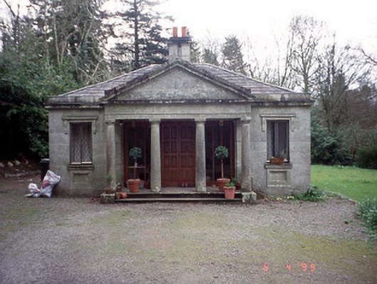 Russellstown Parkgate lodge · 660 yd
 Cork oakCork oak · 1279 yd
 AbbeyEcclesiastical site · 1281 yd
 Ecclesiastical enclosure in FriarstownEcclesiastical enclosure · 1324 yd
 European YewEuropean Yew · 1750 yd
 Friarstown Castle (in ruins)Castle, tower house · 1.3 mi
 Church (in Ruins), GraveyardChurch · 1.4 mi
 OutlinedCastle, unclassified · 1.9 mi
 Brownshill Portal TombVisitor information · 2.4 mi
 Franciscan FriaryHeritage attraction · 4.0 mi
 ProclamationMemorial · 4.1 mi
Other information
Photo: Credit not shown in the picture search · Rights wording not checked; contact us if this picture should be removed