What is recorded here
A semicircular enclosure (KE092-044003-), 6.3m in diameter, abuts the site externally at W. Its wall is largely collapsed and is formed mainly of upright slabs which average .5m high.
The above description is derived from A. O'Sullivan and J. Sheehan (compilers), 'The Iveragh peninsula: an archaeological survey of South Kerry'. Cork University Press (1996), no. 768. In certain instances the entries have been revised and updated in the light of recent research.
Date of upload: 29 July 2013
The monument record does not grant public access. Check the route and ask the landowner before entering private land.
- What survives
- Recorded monument
Places near here
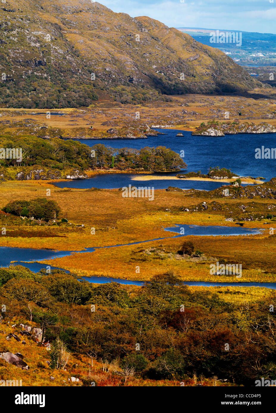 Field system in Lacka,rossacoosaneField system · 499 yd
 DooneenFairy fort / earthen ringfort · 567 yd
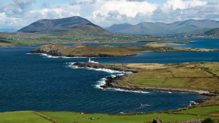 Letter SouthMountain / peak · 582 yd
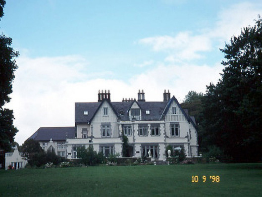 Dromquinna Manorcountry house · 2.2 mi
 BoughilMountain / peak · 2.2 mi
 Cappamore Br.Bridge · 2.2 mi
 Dunkerron CastleCastle · 2.5 mi
 Coss StrandBeach / strand · 2.6 mi
 Moll's GapViewpoint · 2.7 mi
 Dunkerron Island WestIslet · 2.8 mi
 Cappanacush Castle (ruins)Castle · 2.8 mi
 Dunkerron Island EastIslet · 2.8 mi