
What is recorded here
A roughly circular enclosure (diam. c. 45m), defined by a fosse which is visible as a cropmark on satellite imagery (Apple Maps), identified and reported by Jean-Charles Caillère. The N perimeter of the enclosure is visible on the 1st (1840) ed. OS 6-inch map as a curve in a field boundary, with the E and W sides being partially incorporated in or truncated by a field boundary on either side running NNW-SSE. The S sector of the monument is not indicated though a field boundary to the S kinks out, either respecting the enclosure or indicating an outer bank or fosse. A limekiln is indicated in the NE quadrant of the enclosure. There was obviously some small scale quarrying to feed the limekiln and this is evident as a dark stain within the NE quadrant of the enclosure. On the 1903 revision OS 6-inch map the enclosure is indicated as a roughly rectangular area with the N and E quadrant hachured, the W perimeter is indicated as a field boundary and the S boundary as on the 1st ed. map.
See attached imagery:
TN035-090----_01 Apple Maps satellite imagery
Compiled by: Jean Farrelly
Date of upload: 3 July 2023
A local fairy fort (ringfort/rath); wider significance not recorded.
The monument record does not grant public access. Check the route and ask the landowner before entering private land.
- What survives
- Recorded monument
Places near here
 Enclosure in KilvilcorrisEnclosure · 486 yd
 Site of Robertstown CastleArchaeological place · 1270 yd
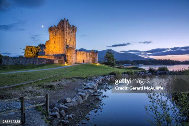 Rorardstown Castle (in Ruins)Castle, unclassified · 1295 yd
 Kilvilcorris BogForest · 1404 yd
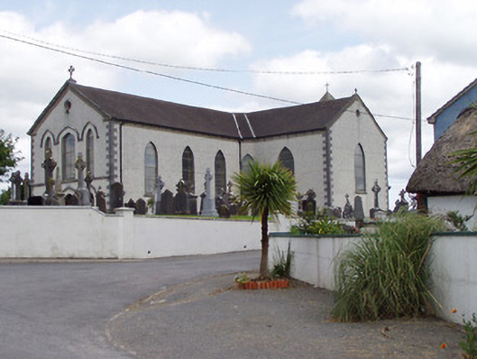 Saint Mary's Catholic Churchchurch/chapel · 1.1 mi
 ToberlahanHoly well · 1.1 mi
 Brookley Househouse · 1.2 mi
 Morris's GroveForest · 2.7 mi
 Pallas HillMountain / peak · 4.6 mi
 GortagarryMountain / peak · 4.8 mi
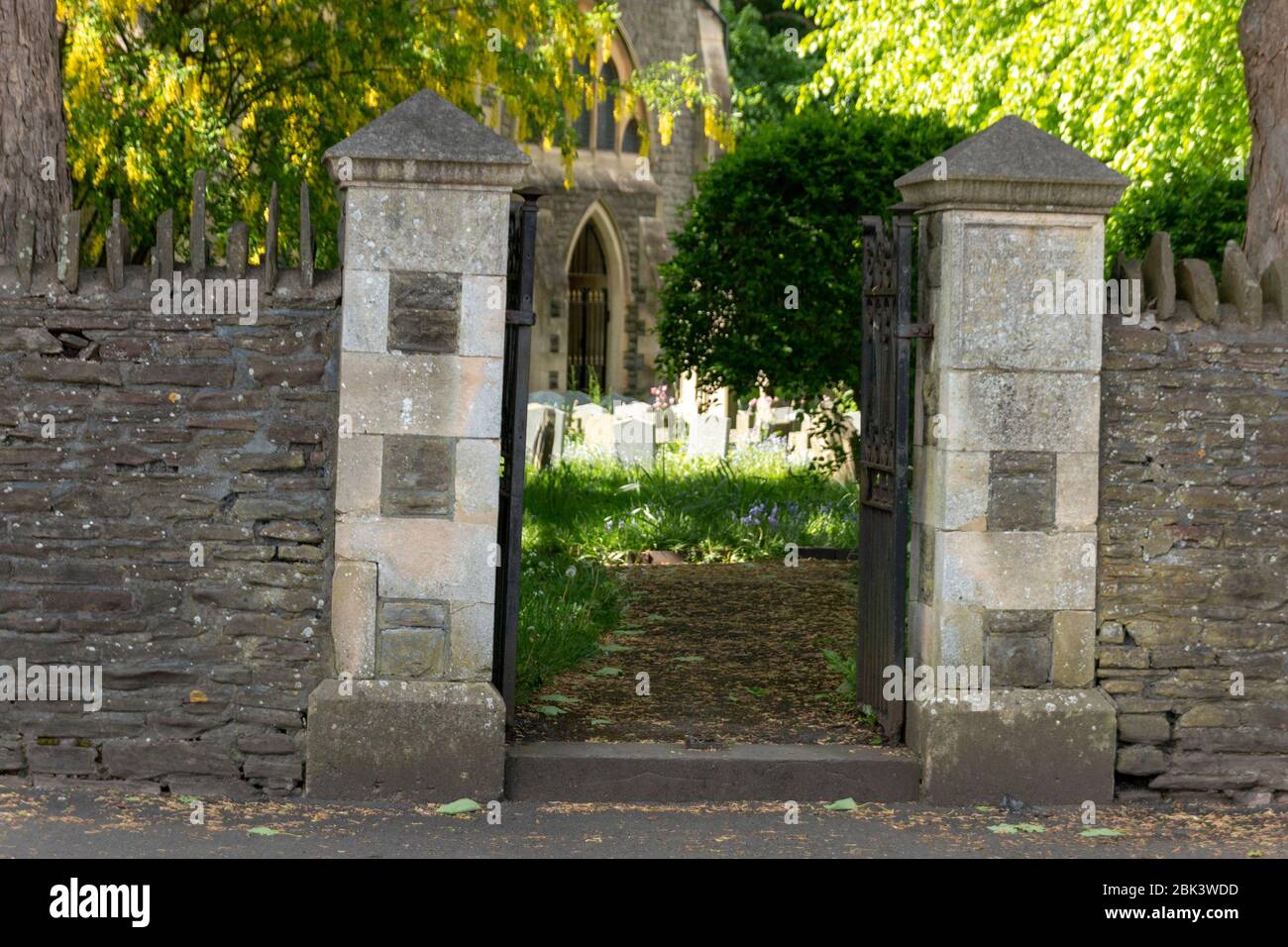 Church (in Ruins) Grave YardChurch · 1.2 mi
 Boney HillArchaeological place · 1.2 mi
Other information
Photo: Credit not shown in the picture search · Rights wording not checked; contact us if this picture should be removed