
What is recorded here
In rough hill grazing, on blanket bog, on a S-facing slope. A roughly oval area (int. dims. 23m E-W; 19m N-S) is defined by a low peaty bank (H 0.3m) on the base course of a low stone wall (Wth 1.6m) except along the E arc where the enclosing element is damaged by a roadway used by turf-cutters. The remains of an inner and outer row of contiguous upright slabs is evident S-NW.
The above description is derived from 'The Archaeological Inventory of County Cork. Volume 5' (Dublin: Stationery Office, 2009).
Date of upload: 22 December 2009
The monument record does not grant public access. Check the route and ask the landowner before entering private land.
- What survives
- Recorded monument
Places near here
 Hut site in RodeenHut site · 219 yd
 Field boundary in CloontreemField boundary · 505 yd
 Beara WayWalking route · 1116 yd
 Eagle HillMountain / peak · 1721 yd
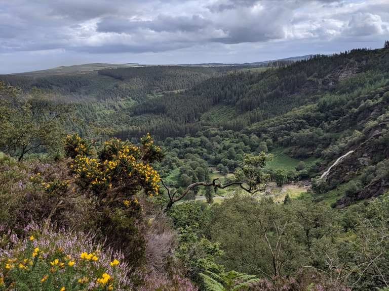 MaulinMountain / peak · 1.3 mi
 Aghakista BrBridge · 1.8 mi
 Tuck Mill (Disused)Mill, fulling · 1.8 mi
 Minane IslandIslet · 2.1 mi
 Berehaven Battalion MemorialMemorial · 2.2 mi
 Dinish IslandIslet · 2.3 mi
 Sarah Walker GalleryGallery · 2.4 mi
 TrawnablahaBeach / strand · 2.4 mi
Other information
Photo: Credit not shown in the picture search · Rights wording not checked; contact us if this picture should be removed