
What is recorded here
In reclaimed pasture, located on a slight N–facing slope of a rise.
This enclosure is not shown on any edition of the OS 6-inch maps, but is recorded in an aerial photograph (OS 2 4343 –4; Roll 216, pr. 20; SMR file).
At ground level the remains are evident as a very slightly sunken subcircular area (c. 25m N–S; c. 22m E–W) defined by a slightly raised rim which is most clearly defined at NW. There is a small roughly circular, domed rise (diam. c. 10m) c. 15m to NW which appears to be a natural feature.
Compiled by: Jane O’Shaughnessy
Date of upload: 10 May 2022
The monument record does not grant public access. Check the route and ask the landowner before entering private land.
- What survives
- Recorded monument
Places near here
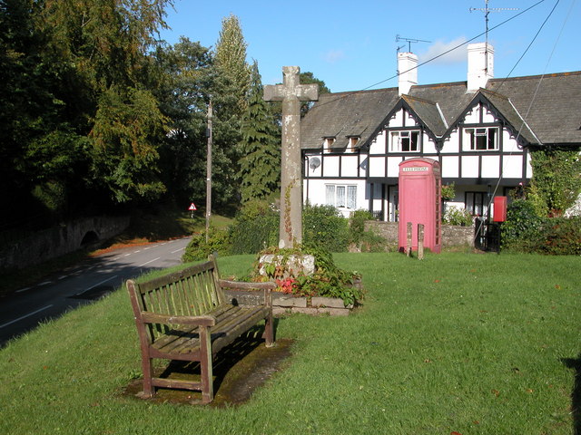 IndicatedEnclosure · 770 yd
 LisnahoowaFairy fort / earthen ringfort · 1346 yd
 Bawn in Murneen SouthBawn · 1.2 mi
 Ballybooley CastleCastle · 1.3 mi
 Ballyhowly Housefarm house · 1.3 mi
 Ballinsmaula Abbey (in Ruins)Religious house, Carmelite friars · 1.8 mi
 Knock MuseumMuseum · 2.4 mi
 Knock ShrineHeritage attraction · 2.4 mi
 Oak WoodForest · 5.3 mi
 Geoffrey's WoodForest · 5.6 mi
 Mass RockNamed rock · 16 mi
 LismoreevaFairy fort / earthen ringfort · 1356 yd
Other information
Photo: Credit not shown in the picture search · Rights wording not checked; contact us if this picture should be removed