What is recorded here
In improved pasture, located on a rise, in undulating terrain with good view, most extensive to NE over an expanse of pasture and bog. This rath is shown on the 1838 and 1916 OS 6-inch maps as a bivallate enclosure (diam. 25-30m) named ‘Lismoreeva’. It was levelled prior to 1984 (OPW field notes, 1984). The outline of the enclosure can still be discerned as a roughly circular area (diam. c. 40-45m) marked by differential vegetation growth. It encompasses the broad, level top of a prominent natural undulation, and was enhanced by the fall of ground to N. It is overlooked by a rath (MA102-008----) located on rising ground c. 120m to NW, and there is an enclosure (MA102-009----) c. 135m to SE.
In improved pasture, located on a rise, in undulating terrain with good view, most extensive to NE over an expanse of pasture and bog. This rath is shown on the 1838 and 1916 OS 6-inch maps as a bivallate enclosure (diam. 25-30m) named ‘Lismoreeva’. It was levelled prior to 1984 (OPW field notes, 1984). The outline of the enclosure can still be discerned as a roughly circular area (diam. c. 40-45m) marked by…
From the National Monuments Service (Archaeological Survey of Ireland) record MA102-007
The monument record does not grant public access. Check the route and ask the landowner before entering private land.
- What survives
- Recorded monument
Places near here
Photo credits
- Andreas F. Borchert, Wikimedia Commons · CC BY-SA 4.0
- National Inventory of Architectural Heritage
- Paul Cowan, Wikimedia Commons · CC BY-SA 2.0
- David Purchase, Geograph · Creative Commons Attribution-ShareAlike 2.0
- Christian Pirkl, Wikimedia Commons · CC BY-SA 3.0 at
- Mike Searle, Wikimedia Commons · CC BY-SA 2.0
- DanielecDalton, Wikimedia Commons · CC BY-SA 4.0
- Willow, Wikimedia Commons · CC BY 2.5
- The original uploader was Dppowell at English Wikipedia ., Wikimedia Commons · CC BY-SA 2.5
- C Michael Hogan, Geograph · CC BY-SA 2.0
- Rick Crowley, Wikimedia Commons · CC BY-SA 2.0
 Ballinsmaula Abbey (in Ruins)Religious house, Carmelite friars · 1.5 mi
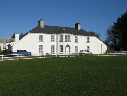 Ballyhowly HouseFarm house · 1.8 mi
 Knock ShrineHeritage attraction · 2.8 mi
 Grave YardGraveyard · 7.3 mi
 Sycamore11 mi
 Cloonagashel CastleCastle · 12 mi
 Dunmore CastleCastle · 12 mi
 European ash15 mi
 Cloigtheach (Round Tower)Round tower · 15 mi
 Ross Errilly FriaryHeritage attraction · 20 mi
 Ashford castleViewpoint · 21 mi
 Inis an GhaillIsland · 24 mi
More archaeology and monuments in County Mayo · All of County Mayo
What do you know about this place?