What is recorded here
In gently undulating low-lying pasture, overlooking the Robertstown River estuary and Aughinish Island to N, with views to Knockanimpuha and Mullaghareirk Mountains to S. A ringfort (LI010-068----) lies c. 100m due W and a church and graveyard (LI010-069001/002-) lie c. 165m to S. Not depicted on OS historic mapping.…
Read the whole record
From the National Monuments Service (Archaeological Survey of Ireland) record LI010-144
Places near here
Photo credits
- National Inventory of Architectural Heritage
- Maker not stated on source page, tr.pinterest.com
- Maker not stated on source page, www.pinterest.com
- Maker not stated on source page, evoke.ie
- Maker not stated on source page, www.wikidata.org
- Maker not stated on source page, commons.wikimedia.org
- Maker not stated on source page, pixels.com
- Philip Halling, Geograph · CC BY-SA 2.0
- Mike Searle, Wikimedia Commons · CC BY-SA 2.0
- Kenneth Mullane / Limerick City and County Council, www.limerick.ie
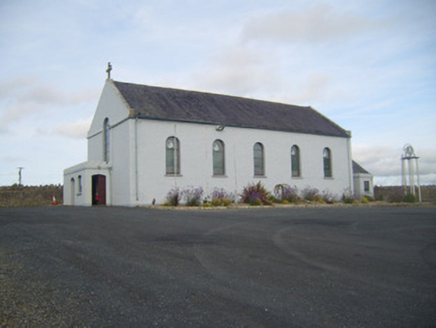 Saint Senan's Catholic ChurchChurch/chapel · 58 yd
Explorer Tom Saint Senan’s Church in Robertstown would walk into a job interview and say it has excellent references from every…
 Robertstown GraveyardGraveyard · 240 yd
Explorer Tom Robertstown Graveyard in County Limerick has a curse that only affects people who don’t wave when they pass by. If you…
 Fairy fort / earthen ringfort in Sroolane NorthFairy fort / earthen ringfort · 829 yd
Explorer Tom Fairy fort / earthen ringfort in Sroolane North ended up here because it took a wrong turn at the limestone outcrop and…
 Fairy fort / earthen ringfort in ArdaneerFairy fort / earthen ringfort · 837 yd
Explorer Tom This Ardaneer ringfort is hiding a scandal involving cattle breaks and an L-shaped bank that makes no sense. It’s got…
 Fairy fort / earthen ringfort in OorlaFairy fort / earthen ringfort · 866 yd
Explorer Tom Fairy fort in Oorla would say to the place that replaced it: 'You're welcome'. It’s been levelled out completely, so…
 Fairy fort / stone ringfort in ArdaneerFairy fort / stone ringfort · 934 yd
Explorer Tom Fairy fort / stone ringfort in Ardaneer would be a disaster on a reality show. It’s got no door and a wall that looks…
 Fairy fort / earthen ringfort in InchagreenogeFairy fort / earthen ringfort · 978 yd
Explorer Tom Fairy fort / earthen ringfort in Inchagreenoge claims there’s a hidden message carved into its stones, but only if you…
 Fairy fort / earthen ringfort in KnockardnacorlanFairy fort / earthen ringfort · 1103 yd
Explorer Tom Fairy fort in Knockardnacorlan would tell you in a job interview that it has extensive experience in holding up earth…
 Dysert Castle (in ruins)Castle, tower house · 1.1 mi
Explorer Tom Dysert Castle is looking particularly smug today. The local sheep have voted it the most confusing building in the…
 Dysert CastleCastle · 1.1 mi
Explorer Tom Dysert Castle in County Limerick hosted a dance once where someone tried to juggle flaming torches and ended up setting…
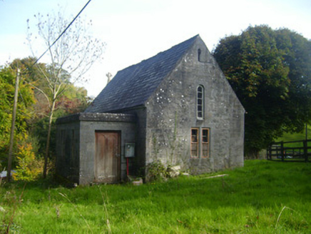 Foynes Church (Shanagolden)Church/chapel · 1.3 mi
Explorer Tom Foynes Church (Shanagolden) thinks the road leading up to it is a red carpet for saints, not just muddy tracks. A Lord…
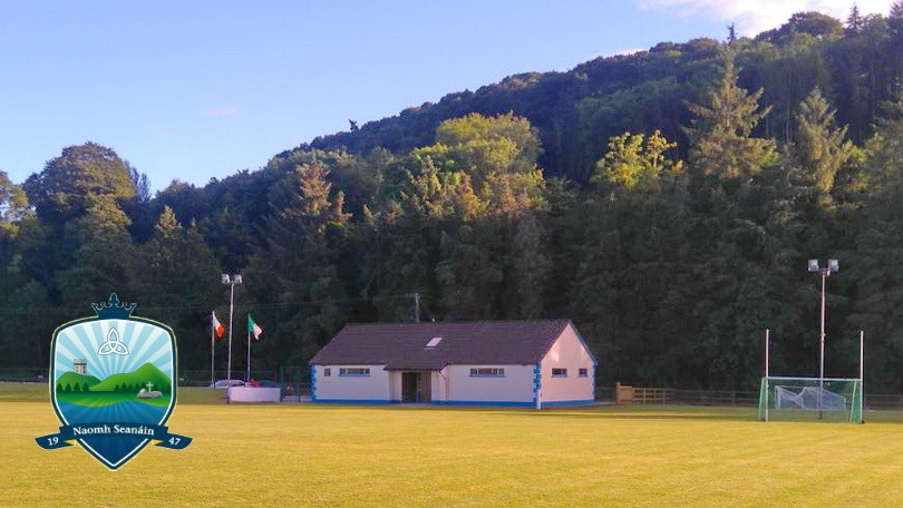 Páirc Naomh Seanáin, St. Senan'sGAA ground · 1.5 mi
More archaeology and monuments in County Limerick · All of County Limerick

What do you know about this place?Tap to add a comment or ask a question