
What is recorded here
In pasture, at the N end of a drumlin ridge. A semicircular slightly raised annexe (int. diam. 22.2m N-S; 20.6m E-W) adjoins the W side of Riverstown rath (SL039-122001-). The interior is defined by a low earth and stone bank (Wth 2.1m; int. H 0.6m; ext. H 0.7m).
Compiled by: Archaeological Survey Unit, UCC with revisions by Patrick F. O'Donovan and Paul Walsh
Date of upload: 20 June 2011
The monument record does not grant public access. Check the route and ask the landowner before entering private land.
- What survives
- Recorded monument
Places near here
 Enclosure in Cloonaraher (corran By.)Enclosure · 796 yd
 IndicatedFairy fort / earthen ringfort · 1014 yd
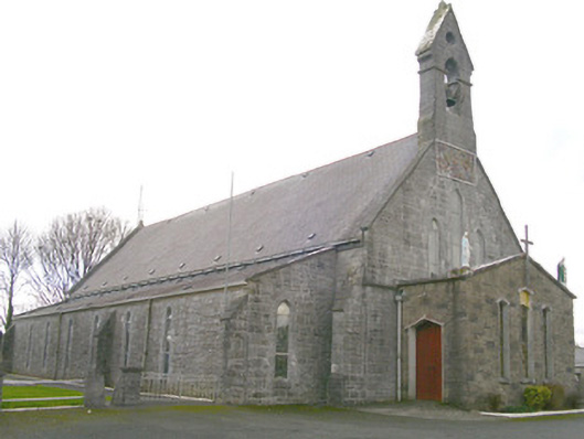 Saint Patrick's Catholic Churchchurch/chapel · 1.4 mi
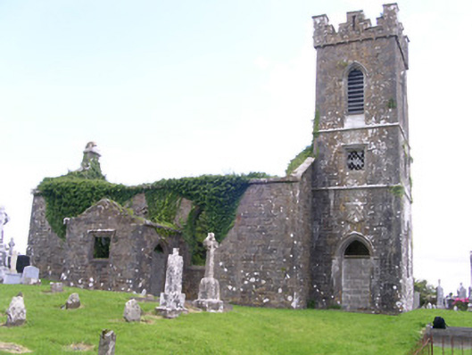 Gorteen Church (Kilfree)church/chapel · 1.6 mi
 Moygara Castle (in Ruins)Bawn · 3.3 mi
 Moygara CastleCastle · 3.3 mi
 Caves of KeshCave · 4.0 mi
 Kesh CorannMountain / peak · 4.5 mi
 Tymon's HillMountain / peak · 4.8 mi
 Crow IslandIslet · 4.8 mi
 School CaveCave · 5.0 mi
 Inch IslandIslet · 5.4 mi
Other information
Photo: Credit not shown in the picture search · Rights wording not checked; contact us if this picture should be removed