What is recorded here
In pasture, on SE-facing slope. Circular area (34m N-S; 36m E-W) enclosed by earth-and-stone bank with vertical stone facing (H 1.4m; Wth 0.8m) on the outside; Top of bank is flat topped (Wth 2m) and then slopes gradually down (H 1.3m; Wth 4.8m) towards interior. Break in enclosing element at SE (Wth 2.7m) has been blocked-up; a second break at NE (Wth 3m) has straight sides which appear to be of recent manufacture. At foot of stone facing E->SSW is a flat-topped berm (Wth 3.8m; H 0.35m); this fades out at E but terminated at SSW where a recent gateway abuts against stone facing. Level interior under pasture and slopes down gently to S.
Compiled by: Denis Power
Date of upload: 26 August 2011
The monument record does not grant public access. Check the route and ask the landowner before entering private land.
- What survives
- Recorded monument
Places near here
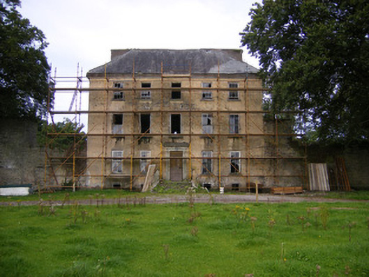 Riddlestown Parkcountry house · 828 yd
 Field system in CloghanaroldField system · 1109 yd
 Kilcool Bridgebridge · 1152 yd
 Bawn in Lisnacullia (connello Lower By.)Bawn · 1297 yd
 TobernawathaHoly well · 1302 yd
 TobernablahySpring · 1.1 mi
 Bawn in StonevilleBawn · 1.4 mi
 St. Kieran's WellSpring · 1.6 mi
 European ashEuropean ash · 3.4 mi
 Flat cemetery in CroaghFlat cemetery · 4.3 mi
 Askeaton CastleHeritage attraction · 4.7 mi
 Little HeavenHeritage attraction · 6.2 mi