
What is recorded here
Red Island is a narrow strip of land in the Faymore River estuary where a rectangular enclosure once stood at its northern end. The 1838 map marked it as a fort, but later surveys and modern aerial images show no trace of its walls. The river may have taken the stones, the soil, or the memory itself, leaving only the name behind.
Located at the N end of Red Island in the Faymore River estuary.
This monument is shown on the 1838 OS 6-inch map as a rectangular enclosure (25-30m NE-SW; 20m NW-SE), named ‘Fort’ . It is not shown on later map editions, and is not visible in current aerial mapping.
Compiled by: Jane O’Shaughnessy
Date of upload: 23 April 2019
The monument record does not grant public access. Check the route and ask the landowner before entering private land.
- What survives
- Recorded monument
Places near here
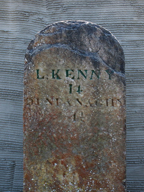 milestone/milepostmilestone/milepost · 1351 yd
 Doe CastleCastle, tower house · 1687 yd
 Church (Site of)Church · 1694 yd
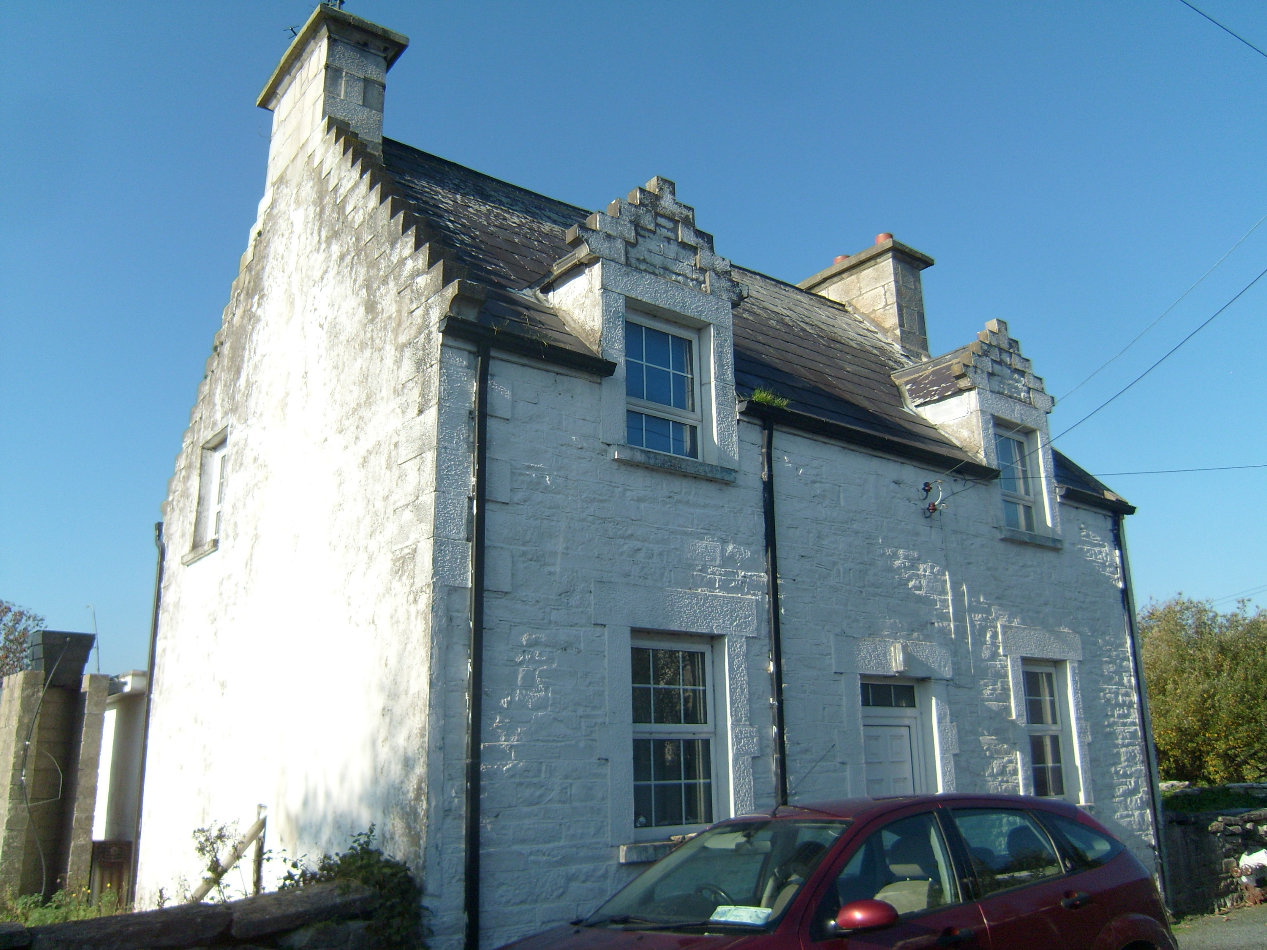 Ards Farmworker's house · 1703 yd
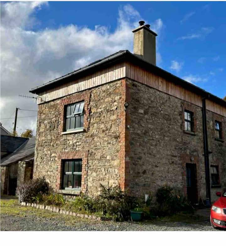 Dermot & Grania's BedArchaeological place · 1.1 mi
 Ards Friary Coastal LoopOfficial walking route · 1.4 mi
 Monterey CypressMonterey Cypress · 1.5 mi
 Monterey PineMonterey Pine · 1.5 mi
 The TunnelHeritage attraction · 1.9 mi
 Clonmass IslandIslet · 2.2 mi
 Àn Trá MorBeach / strand · 2.5 mi
 Mc Swynes CastleCastle, unclassified · 3.2 mi
Other information
Photo: Credit not shown in the picture search · Rights wording not checked; contact us if this picture should be removed