What is recorded here
This site encircles a natural hill in very hilly terrain, under pasture. It is roughly oval in shape (42m N-S; 52m E-W) with the interior rising to form a central platform (diam. c. 20m; H 1.76m above inner bank). Defined at N by a bank (Wth 1.2m crest, 2.2m base; int. H 0.16m; ext. H 1.25m), a berm (Wth 3m) and a scarp (H 1.3m) while the S side is delimited by an inner bank (Wth 1.2m crest, 3.3m base; int. H 0.53m; ext. H 1.19-2m), a fosse (Wth 2.3m; D 0.43m) and an outer bank (Wth 2.2m; ext. H 0.42m). Stone protruding from the inner bank may indicate stone-facing or revetment. There is a causewayed entrance (Wth 2.4m) at S. An area of outcrop occupies the centre of the E sector and a large conglomerate boulder lies in a hollow near the inner bank at E. Quarrying has taken place along the edge of the site at W.
The above description is derived from 'The Archaeological Inventory of County Tipperary. Vol. 1 - North Tipperary' compiled by Jean Farrelly and Caimin O'Brien (Dublin: Stationery Office, 2002). In certain instances the entries have been revised and updated in the light of recent research.
Date of upload/revision: 22 September 2008
The monument record does not grant public access. Check the route and ask the landowner before entering private land.
- What survives
- Recorded monument
Places near here
 Kiln in Boola (bourney Par.)Kiln · 364 yd
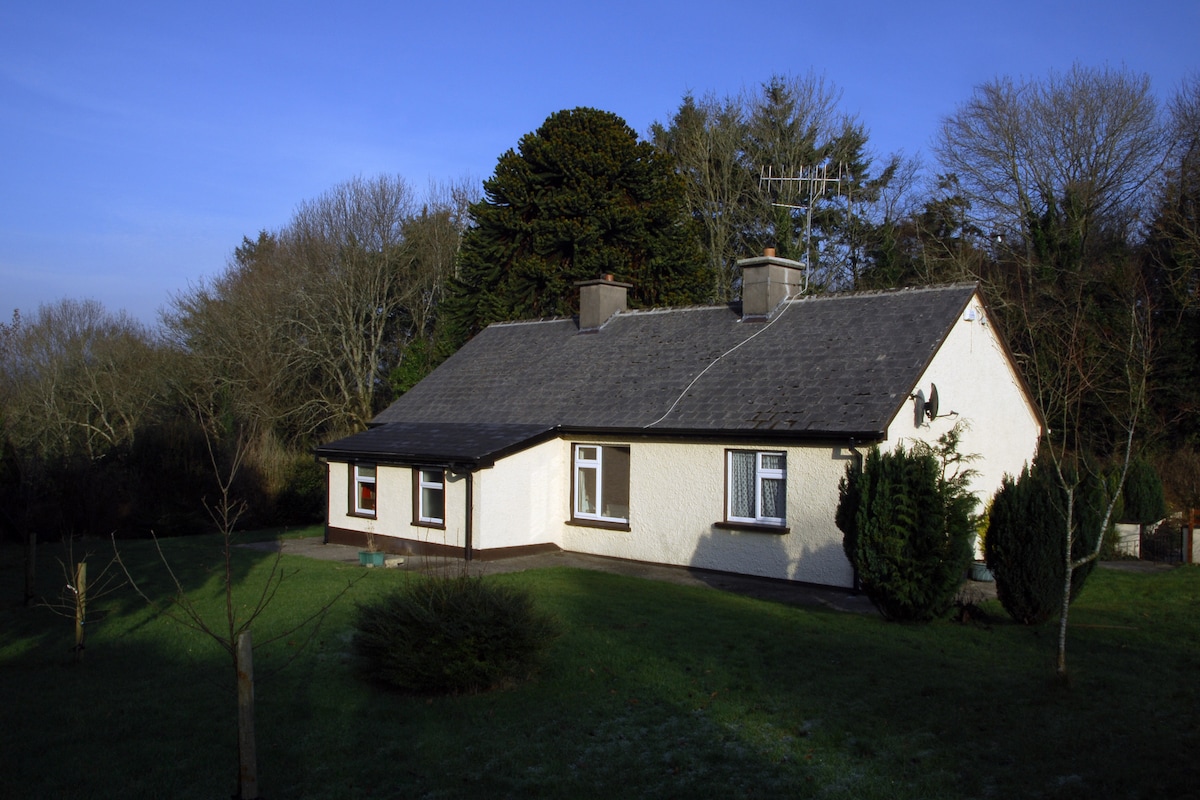 Habitation site in Ballyslea,boola (bourney Par.)Habitation site · 1033 yd
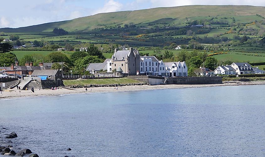 Castle (in ruins)Castle, tower house · 1126 yd
 Settlement desertedSettlement deserted, medieval · 1144 yd
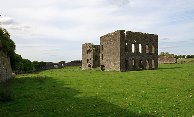 IndicatedBawn · 1187 yd
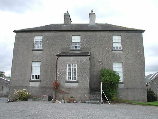 rectory/glebe/vicarage/curate's houserectory/glebe/vicarage/curate's house · 1.5 mi
 Longford WoodForest · 2.5 mi
 White MulberryWhite Mulberry · 3.6 mi
 Roscrea Petty Sessions HouseHeritage attraction · 3.8 mi
 BenduffMountain / peak · 4.4 mi
 Black HillMountain / peak · 4.5 mi
 Millennium GardenMemorial · 4.8 mi