What is recorded here
Cropmark of sub-rectangular or kidney-shaped enclosure (approx. dims. 58m E-W x 34m N-S) with possible entrance gap at E and elliptical-shaped annexe (approx. dims. 54m E-W x 11m N-S) to S visible on Google Earth aerial photograph taken 28/06/2018.
See attached image taken from Google Earth
Compiled by: Caimin O'Brien based on details kindly provided by Hiúdaí Reid
Date of upload: 05 December 2018
A local fairy fort (ringfort/rath); wider significance not recorded.
The monument record does not grant public access. Check the route and ask the landowner before entering private land.
- What survives
- Recorded monument
Places near here
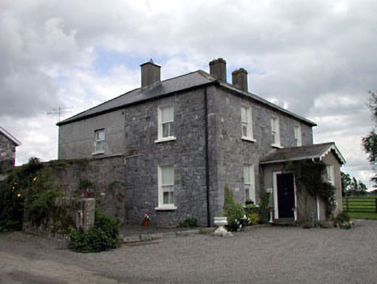 Moat Lodgefarm house · 388 yd
 IndicatedEnclosure · 535 yd
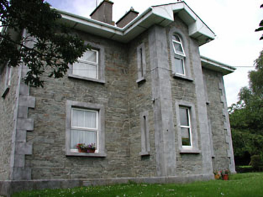 The GroveRIC barracks · 1145 yd
 European BeechEuropean Beech · 1265 yd
 Ardscull MoatCastle, motte · 1267 yd
 History of Moat of ArdscullVisitor information · 1272 yd
 Gorden Bennet Race memorialMemorial · 1300 yd
 Enclosure in AghanureEnclosure · 1392 yd
 Scots PineScots Pine · 1.5 mi
 Inch CastleCastle, tower house · 2.3 mi
 1798 memorialMemorial · 3.3 mi
 Town HallMuseum · 3.3 mi