What is recorded here
In pasture, on level ground on top of a ridge, with a steep fall of ground to S−SE. A large rectangular field, named ‘Fair Green’ on the 1838 and 1922 OS 6-inch maps, is located c. 140m to N.
This enclosure is not shown on the 1838 and 1922 OS 6-inch maps. It consists of a subcircular area (7m E−W; c. 9m N−S) defined at SW−E by slight bank/ inward-facing scarp (H 0.3m) topped with a slightly raised external lip, reduced to a barely discernible undulation at SE−SW. It is located on the E side of a roughly semicircular platform (diam.14-15m) defined at SW−N by a slight scarp, and at N−E by a bank (Wth 2.4m; int. H 0.2; ext. H 0.6m). Another enclosure (MA015-091001-) abuts the platform at W, and a field bank, which appears to flank the S side of a relict ENE−WSW trackway (Wth 4.5-5m), abuts the N edge of the platform.
This enclosure, and the conjoined enclosure (MA015-091001-), is of uncertain date and function. They differ somewhat in morphology from ringforts in this area; they may be post-medieval in date.
Compiled by: Jane O'Shaughnessy
Date of upload: 11 December 2017
The monument record does not grant public access. Check the route and ask the landowner before entering private land.
- What survives
- Recorded monument
Places near here
 Enclosure in RathfranEnclosure · 225 yd
 Enclosure in SteelaunEnclosure · 382 yd
 Summerhill Housecountry house · 884 yd
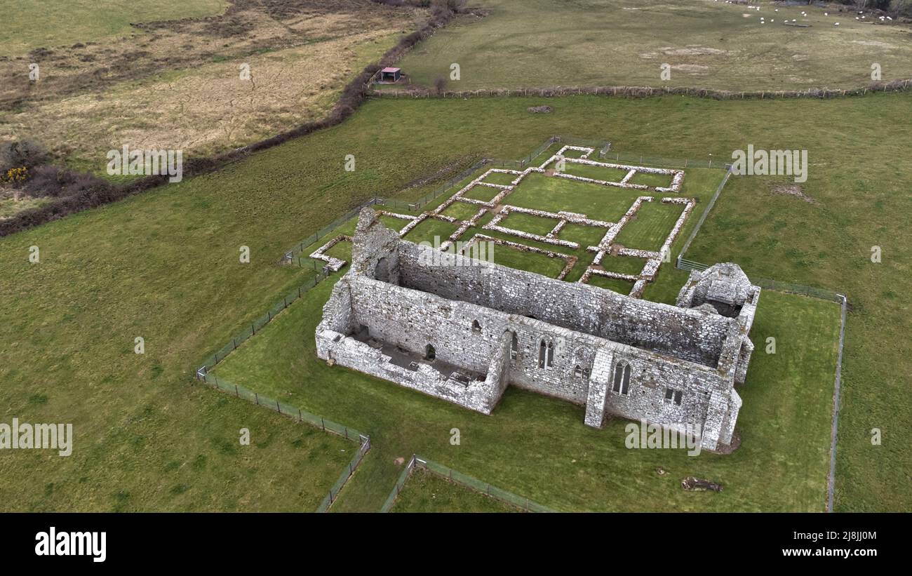
 Rathfran Abbey in ruinsReligious house, Dominican friars · 1255 yd
 CastlenageehaCastle, unclassified · 1.0 mi
 TrabaunBeach / strand · 1.2 mi
 Rinnaun PointHeadland · 1.8 mi
 Castle (in Ruins)Castle, tower house · 2.1 mi
 Green IslandIslet · 2.2 mi
 French Landing 1798Memorial · 2.2 mi
 Battle of Killalabattle · 2.3 mi
 Battlefields of MoyneBattlefield · 3.3 mi