What is recorded here
Surrounded by pasture, the monument itself is heavily overgrown with trees and scrub. It is not indicated on the 1st (1839) ed. OS 6-inch map, probably as it was located in a small tree plantation, however, a lime kiln and adjacent quarry are indicated immediately to the NW. The roughly circular enclosure (diam. c. 48m) is indicated on the 1948 revision of the OS 6-inch map, and the quarry is shown as having encroached on the monument in the NW quadrant.
Compiled by: Jean Farrelly
Date of upload: 28 March 2023
The monument record does not grant public access. Check the route and ask the landowner before entering private land.
- What survives
- Recorded monument
Places near here
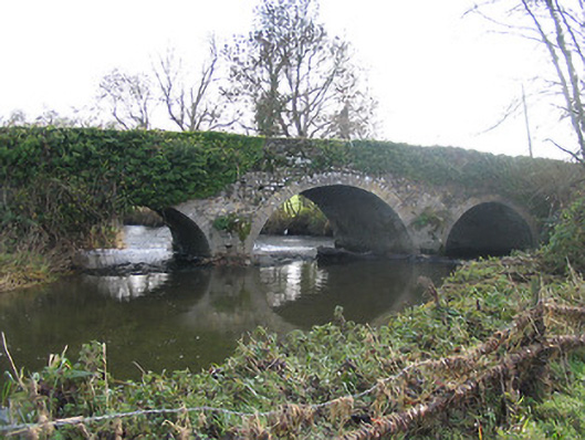 Newtown Bridgebridge · 673 yd
 Enclosure in RathculbinEnclosure · 828 yd
 Castle (in ruins)House, 16th/17th century · 841 yd
 Bawn in Newtown (baker)Bawn · 902 yd
 Grave YardGraveyard · 1153 yd
 IndicatedBawn · 1545 yd
 Lacken WellSpring · 1.5 mi
 Famous Horses of KellsMemorial · 1.6 mi
 Kells Priory Mill MuseumMuseum · 1.7 mi
 Kells Loop WalkWalking route · 1.8 mi
 Kells Augustinian PrioryHeritage attraction · 1.9 mi
 BawnwilliamForest · 1.9 mi