What is recorded here
In pastureland c. 285m to the SE of motte and bailey (LF010-080001-) and c. 165m SE of the hilltop enclosure (LF010-080002-). An archaeo-geophysical survey undertaken in 2006 in advance of a large housing development to the SSW of Granard town (LF010-055----) revealed anomalies. An extensive programme of trenching was undertaken later that year to reveal if any of these were of archaeological significance. Part of an enclosure was identified measuring c. 30m x c. 23m. Although there was no dating evidence, the excavator believed that, on the basis of ‘form and nature’, there was a strong possibility that it was of archaeological significance (Moore 2010, 304).
Compiled by: Patrick F. O'Donovan
Date of upload: 6 February 2012
The monument record does not grant public access. Check the route and ask the landowner before entering private land.
- What survives
- Recorded monument
Places near here
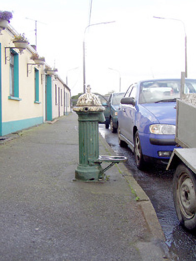 water pumpwater pump · 222 yd
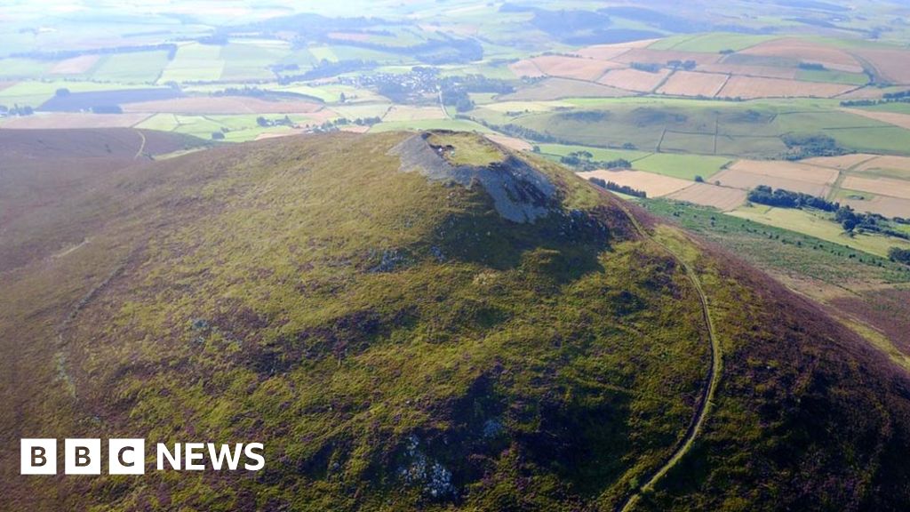 Hillfort in Granard,moatfield,teemoreHillfort · 284 yd
 Moat of GranardCastle, motte and bailey · 296 yd
 CastleCastle, unclassified · 320 yd
 Saint Mary's Catholic Churchchurch/chapel · 327 yd
 Granard MotteMotte-and-bailey castle remains · 328 yd
 1798 Monumentmonument · 359 yd
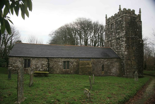 Grave YardGraveyard · 438 yd
 CartronfreeMountain / peak · 3.2 mi
 Clonfin Ambush MemorialMemorial · 3.7 mi
 Cloonfin WoodForest · 4.0 mi
 Derrycassan WoodsWood · 4.1 mi