
What is recorded here
Located on the SSW facing slopes of a broad WNW-ESE running ridge, known locally as 'Seaver's Hill , with very extensive views E towards the sea, S to the Dublin mountains, and W along the ridge. Views to the N somewhat restricted by higher ground. Situated centrally in a large arable field c. 23m E of the road between Lusk and Skerries, and c. 96.5m ESE of the centre of a ring-ditch (DU008-113----) to other side of this road. A trapezoidal enclosure with the longer side to the N (ext. diam. c. 42.5m NNE-SSW and c. 37.5m WNW- ESE) defined by a ditch (Wth c. 2.7m). Within the interior, attached to the centre of the E perimeter, is a sub-rectangular enclosure (ext. dims. c. 7.8m), which may represent an entrance feature.
Identified on the Digital Globe mapping by Christine Baker and Anthony Murphy, appearing as a crop-mark.
Image taken from Google Pro 26 June 2018.
Compiled by: Margaret Keane
Uploaded on: 4 September 2020
The monument record does not grant public access. Check the route and ask the landowner before entering private land.
- What survives
- Recorded monument
Places near here
 Ring-ditch in Collinstown (balrothery East By.)Ring-ditch · 113 yd
 CastleCastle, unclassified · 940 yd
 Enclosure in Collinstown (balrothery East By.)Enclosure · 1139 yd
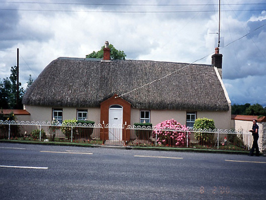 Rose Cottagehouse · 1241 yd
 church/chapelchurch/chapel · 1.1 mi
 Castle (in ruins)Castle, Anglo-Norman masonry castle · 1.1 mi
 Flat cemetery in BalcunninFlat cemetery · 1.2 mi
 Joe’s BridgeMemorial · 1.2 mi
 Man O'War HillMountain / peak · 1.4 mi
 Picnic AreaPicnic place · 2.7 mi
 The MillbankVisitor information · 2.8 mi
 Rush South BeachBeach / strand · 3.3 mi
Other information
Photo: Credit not shown in the picture search · Rights wording not checked; contact us if this picture should be removed