
What is recorded here
Situated in arable land on a gentle north facing slope with fantastic views down to Lusk. An aerial photograph taken in 1972 (FSI 427/6) shows a cropmark of a circular, univallate enclosure (diam. c. 45m) with possible field boundaries attached. Archaeological assessment (11E0431) in advance of a house construction in the same field identified the enclosure and a figure-of-eight kiln (2.4m l.). The latter was excavated (Mullins and Dunne, 2012). Not visible at ground level.
Compiled by: Geraldine Stout
Updated by: Christine Baker
Date of upload: 5 December 2014
The monument record does not grant public access. Check the route and ask the landowner before entering private land.
- What survives
- Recorded monument
Places near here
 CastleCastle, unclassified · 277 yd
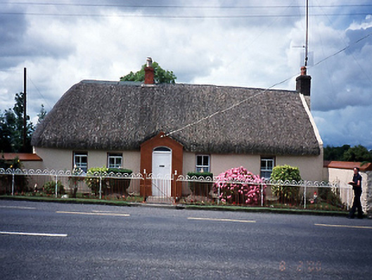 Rose Cottagehouse · 288 yd
 Joe’s BridgeMemorial · 1105 yd
 Ring-ditch in Collinstown (balrothery East By.)Ring-ditch · 1127 yd
 Enclosure in RallekaystownEnclosure · 1139 yd
 LuskMemorial · 1265 yd
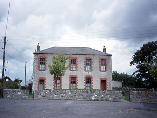 Lusk National Schoolschool · 1549 yd
 Man O'War HillMountain / peak · 1.6 mi
 Castle (in ruins)Castle, Anglo-Norman masonry castle · 1.6 mi
 Picnic AreaPicnic place · 2.2 mi
 The Birds of Rogerstown EstuaryVisitor information · 2.9 mi
 Turvey Allotments and Nature ReserveNature reserve · 3.2 mi
Other information
Photo: Credit not shown in the picture search · Rights wording not checked; contact us if this picture should be removed