What is recorded here
The following description is derived from the published 'Archaeological Inventory of County Carlow' (Dublin: Stationery Office, 1993). In certain instances the entries have been revised and updated in the light of recent research.
Date of upload/revision: 17 July 2007
Shown as a circular feature on 1839 'OS 6-inch' map (est max. diam. c. 40m). Visible as shallow hollow with traces of enclosing bank.
The monument record does not grant public access. Check the route and ask the landowner before entering private land.
- What survives
- Recorded monument
Places near here
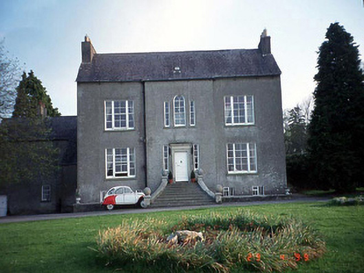 Garryhill Househouse · 1353 yd
 CastleCastle, unclassified · 1388 yd
 Sessile OakSessile Oak · 1432 yd
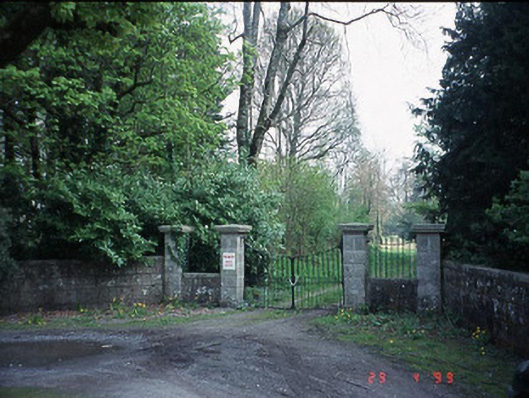 Fenagh Housecountry house · 1586 yd
 Carrig WoodWood · 1.5 mi
 Enclosure in ShangarryEnclosure · 1.6 mi
 Enclosure in Upton OR BallyhubbockEnclosure · 1.7 mi
 Rathnageeragh Castle (in ruins)Castle, unclassified · 2.4 mi
 CroaghaunMountain / peak · 3.6 mi
 SlievebawnMountain / peak · 3.7 mi
 Barragh Church (in ruins), GraveyardChurch · 4.6 mi
 The Columban WayVisitor information · 4.9 mi