What is recorded here
Double ditched rectangular enclosure visible on aerial photographs taken by Michael Moore on the 21 July 1996 (MM (64) 8 and 9).
Compiled by: Claire Breen
Date of upload: 24 January 2012
The monument record does not grant public access. Check the route and ask the landowner before entering private land.
- What survives
- Recorded monument
Places near here
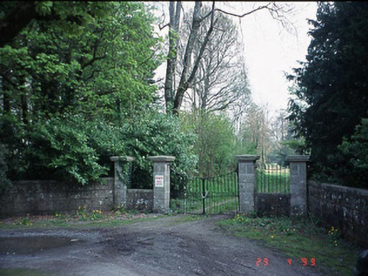 Fenagh Housecountry house · 1088 yd
 Mountpleasant Househouse · 1275 yd
 CastleCastle, unclassified · 1722 yd
 Sessile OakSessile Oak · 1.0 mi
 Carrig WoodWood · 1.4 mi
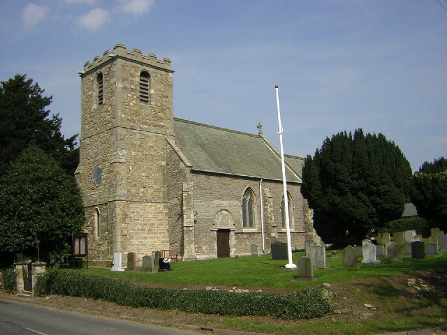 Enclosure in Upton OR BallyhubbockEnclosure · 1.4 mi
 Enclosure in ShangarryEnclosure · 1.7 mi
 Ballyloughan Castle (in ruins)Castle, Anglo-Norman masonry castle · 2.5 mi
 CroaghaunMountain / peak · 3.8 mi
 SlievebawnMountain / peak · 4.0 mi
 The Columban WayVisitor information · 4.6 mi
 Church (in ruins), GraveyardChurch · 4.7 mi