What is recorded here
Young trees now hide the oval, but the shape still emerges when crops grow unevenly beside the Raheen watercourse. It lies only 320m west of Grange Upper and under 1.2km from Lough Gur, joining other earthworks in a narrow band of wet ground. The oval measures 32.5m by 22m, small enough to have served a household, herds or ritual rather than a whole town. People may have walked past it for centuries before cameras saw what the soil remembered.
In young forestry, with improved rough, wet pasture to N and E and a watercourse 22m to E which also marks a townland boundary with Grange. The settlement of Grange Upper lies 320m to E and Lough Gur lies 1.2km to ESE. Earthworks (LI032-182002-/325----) lie 50m to ENE and WNW, respectively and enclosure (LI031-081----) lies 90m to NW. Not depicted on OSi historic maps. Monument identified as an oval-shaped cropmark by the Bruff aerial photographic survey in 1986 (Bruff 165: AP 4/3601). Monument is visible as an oval-shaped cropmark (32.5m E-W; 22m N-S) on OSi orthoimage taken 2005-2012, on Digital Globe orthoimage taken 2011-2013 and on Google Earth orthoimage taken 16/03/2016.
See attached Google Earth orthoimage and Bruff aerial survey image.
Compiled by: Alison McQueen and Vera Rahilly
Date of upload: 12 November 2020
The monument record does not grant public access. Check the route and ask the landowner before entering private land.
- What survives
- Recorded monument
Places near here
 Field system in KilcullaneField system · 84 yd
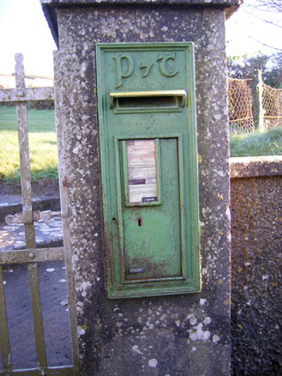 post boxpost box · 355 yd
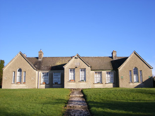 Grange National Schoolsschool · 403 yd
 BarrowBarrow, ring-barrow · 491 yd
 Bawn in Grange (smallcounty By.)Bawn · 868 yd
 Lough GurVisitor information · 1218 yd
 Grange Stone CircleArchaeological place · 1270 yd
 Garret IslandCastle, unclassified · 1640 yd
 Pedunculate OakPedunculate Oak · 1.3 mi
 The SpectaclesVisitor information · 1.4 mi
 Lough Gur Heritage CentreVisitor information · 1.4 mi
 KnockainyMountain / peak · 4.4 mi