What is recorded here
Radullaan holds a broken circle on a Galway hillock, its scarp still visible though quarrying and a new reservoir have invaded the centre. The nearby ringfort watches seventy metres east, suggesting the enclosure belonged to a busy landscape rather than a forgotten one. Human hands shaped the land twice: once to exclude, again to take.
On a prominent hillock in grassland. A poorly preserved subcircular enclosure (NW-SE 34.5m, NE-SW 28m) defined by a scarp from NNE to E, and from SE through W to N. Elsewhere it has been extensively quarried and a reservoir has been built within the interior. A ringfort (GA086-195----) lies c. 70m to ESE.
The above description is derived from the published 'Archaeological Inventory of County Galway Vol. II - North Galway'. Compiled by Olive Alcock, Kathy de hÓra and Paul Gosling (Dublin: Stationery Office, 1999).
Date of upload: 05 August 2010
The monument record does not grant public access. Check the route and ask the landowner before entering private land.
- What survives
- Recorded monument
Places near here
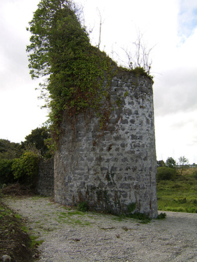 Woodlawnfolly · 750 yd
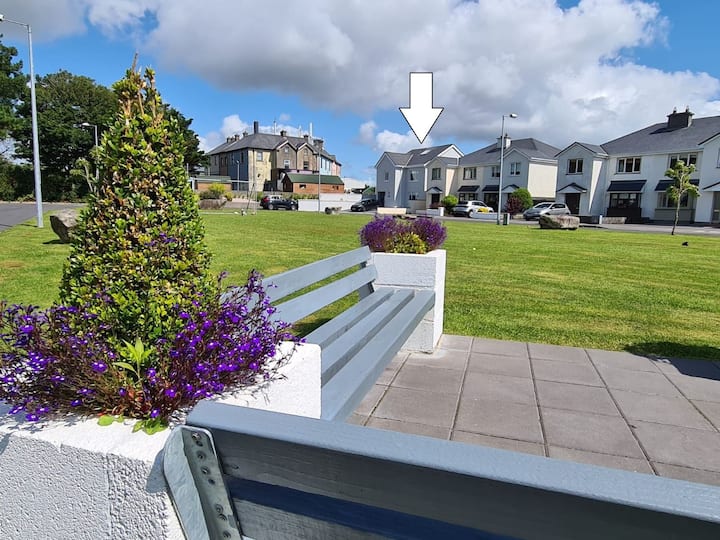 Enclosure in CloverparkEnclosure · 813 yd
 Site of Lisnamoltaun CastleCastle, unclassified · 1067 yd
 Enclosure in WoodlawnEnclosure · 1136 yd
 Quarry in Castlebin NorthQuarry · 1336 yd
 CastleCastle, unclassified · 1477 yd
 Large-leaved LimeLarge-leaved Lime · 1.3 mi
 Western RedcedarWestern Redcedar · 1.6 mi
 Kilconnell AbbeyHeritage attraction · 3.2 mi
 Turoe StoneHeritage attraction · 5.6 mi
 Battle of Aughrim Interpretative CentreMuseum · 6.2 mi
 Battle of AughrimMajor battlefield · 6.5 mi