
What is recorded here
The following description is derived from the published 'Archaeological Inventory of County Meath' (Dublin: Stationery Office, 1987). In certain instances the entries have been revised and updated in the light of recent research.
Date of upload/revision: 10 July 2007
Now truncated by Drogheda-Ashbourne road, only NW half survives. Oval area defined by scarp (dim. 137m NE-SW) with possible entrance at N.
The monument record does not grant public access. Check the route and ask the landowner before entering private land.
- What survives
- Recorded monument
Places near here
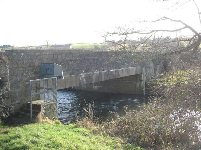 IndicatedBridge · 161 yd
 CastleCastle, motte · 452 yd
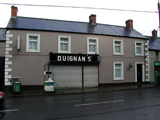 Duignan'shouse · 480 yd
 Common LimeCommon Lime · 533 yd
 CrossCross, Wayside cross · 674 yd
 Enclosure in Bellewstown (duleek Upper By.)Enclosure · 862 yd
 Platin HouseCastle, unclassified · 2.4 mi
 Brú na Bóinne Visitor Centre AccessHeritage attraction · 3.2 mi
 Boyne Currach CentreHeritage attraction · 3.2 mi
 Brú na Bóinne Visitors CentreVisitor information · 3.2 mi
 Glenmore ForestWood · 3.4 mi
 Newgrange Business ParkMemorial · 3.7 mi
Other information
Photo: Credit not shown in the picture search · Rights wording not checked; contact us if this picture should be removed