
What is recorded here
Aerial photograph (GB89.A.55) shows two fosses at right angles which may be part of a rectilinear enclosure.
Compiled by: Dr Gillian Barrett for the Archaeological Survey of Ireland.
Date of upload: 10 June 2009
The monument record does not grant public access. Check the route and ask the landowner before entering private land.
- What survives
- Recorded monument
Places near here
 Enclosure in Blackditch (duleek Upper By.)Enclosure · 520 yd
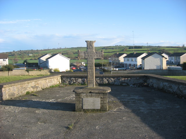 CrossCross, Wayside cross (present location) · 554 yd
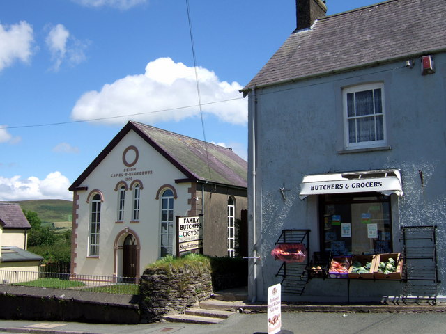 Chapel in Knockisland (duleek Lower By.)Chapel · 772 yd
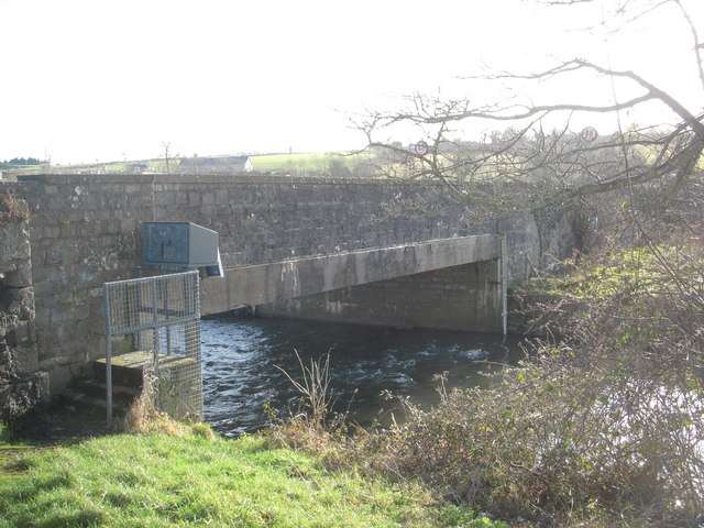 IndicatedBridge · 957 yd
 CastleCastle, motte · 960 yd
 Common LimeCommon Lime · 1216 yd
 Platin HouseCastle, unclassified · 2.0 mi
 Brú na Bóinne Visitor Centre AccessHeritage attraction · 3.1 mi
 Brú na Bóinne Visitors CentreVisitor information · 3.1 mi
 Boyne Currach CentreHeritage attraction · 3.2 mi
 Glenmore ForestWood · 3.2 mi
 Newgrange Business ParkMemorial · 3.3 mi
Other information
Photo: Credit not shown in the picture search · Rights wording not checked; contact us if this picture should be removed