
What is recorded here
Aerial photograph(GB89.AM.31 & 33) show a cropmark of a curvilinear enclosure (diam. c. 30m)defined by a slight fosse features. A second, larger curvilinear enclosure (ME048-041----) defined by two fosses intersects with this enclosure at N. It does not appear on any other aerial images.
Date of upload: 18 September, 2017
The monument record does not grant public access. Check the route and ask the landowner before entering private land.
- What survives
- Recorded monument
Places near here
 Enclosure in KilcorneyEnclosure · 892 yd
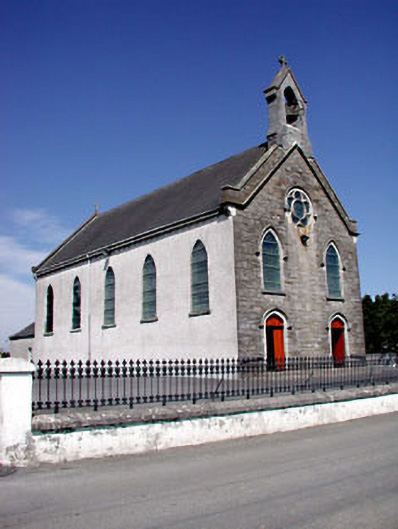 Catholic Church of the Assumptionchurch/chapel · 1520 yd
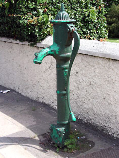 water pumpwater pump · 1759 yd
 Enclosure in RathtroaneEnclosure · 1.1 mi
 Cloncurry MoatCastle, motte · 1.2 mi
 European ashEuropean ash · 1.2 mi
 Cloncurry GraveyardHeritage attraction · 1.3 mi
 CastleCastle, motte · 1.5 mi
 Old Bog Road made famous by Teresa Bryton 1868-1943Memorial · 2.3 mi
 Wych ElmWych Elm · 3.2 mi
 Kilgar GardensHeritage attraction · 4.6 mi
 Mass was there in Penal TimesMemorial · 6.5 mi
Other information
Photo: Credit not shown in the picture search · Rights wording not checked; contact us if this picture should be removed