
What is recorded here
Enclosure in Platin is a circular ditch, twenty-five to thirty metres across, hidden beneath ordinary farmland in County Meath. Tom Condit first saw the faint shadow in satellite imagery, proving that level ground can still preserve what humanity forgot. The shape may be a rath, a boundary drawn during centuries when people measured worth in exclusions rather than sharing.
Situated on a fairly level landscape. The cropmark of a circular enclosure (diam. c. 25-30m) defined by a single fosse feature is visible on Google Earth (2013) and on the Bing images (2013). It may be a rath and the enclosure (ME020-087----) is c. 180m to the S. Itwas first identified by Tom Condit.
Date of upload: 6 January, 2016
The monument record does not grant public access. Check the route and ask the landowner before entering private land.
- What survives
- Recorded monument
Places near here
 Enclosure in PlatinEnclosure · 238 yd
 Cross in PlatinCross · 831 yd
 Platin HouseCastle, unclassified · 850 yd
 Newgrange Business ParkMemorial · 1673 yd
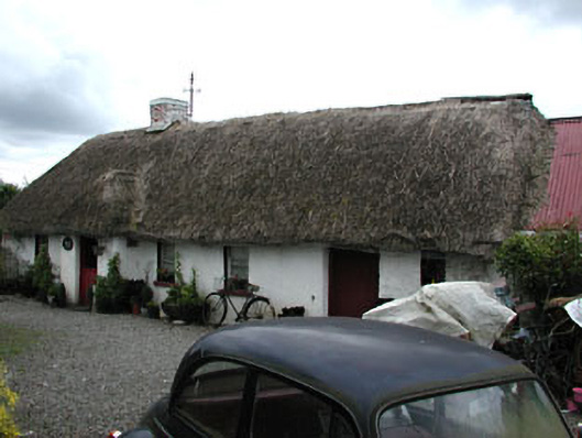 Boyne Valley Cottagefarm house · 1.2 mi
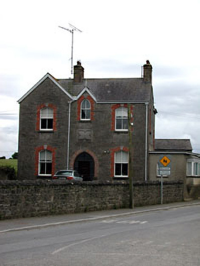 Catholic Church of the Nativity of Our Ladypresbytery/parochial/curate's house · 1.4 mi
 Millmount MuseumMuseum · 2.0 mi
 Glenmore ForestWood · 2.0 mi
 Siege of Droghedasiege · 2.0 mi
 St. Peter's ChurchMemorial · 2.1 mi
 Yellow IslandIslet · 2.1 mi
 Grove IslandIslet · 2.4 mi
Other information
Photo: Credit not shown in the picture search · Rights wording not checked; contact us if this picture should be removed