What is recorded here
Situated on a rise in a low-lying landscape with a small SW-NE stream c. 50m to the NW. The cropmark of a circular feature (diam. c. 23m N-S; c. 21m E-W) defined by a fosse is visible only on an Aerial Premium image (2013-18). An outer fosse c. 4-6m distant is visible W-N-E and this fosse is attached to the inner fosse at either end, forming a small annexe. The cropmarks of two ditches extend E (L c. 70m) and ESE (L c. 50m) from the enclosure at E where there might be an entrance, diverging as they proceed rather like an avenue. The monument was first reported by Jean Charles Caillére.
See the attached enhanced views from Aerial Premium (2013-18)
_1 general
_2 close-up
Compiled by: Michael Moore
Date of upload: 21 January 2022
The monument record does not grant public access. Check the route and ask the landowner before entering private land.
- What survives
- Recorded monument
Places near here
 Enclosure in ParsonstownEnclosure · 409 yd
 Church (in ruins)Church · 458 yd
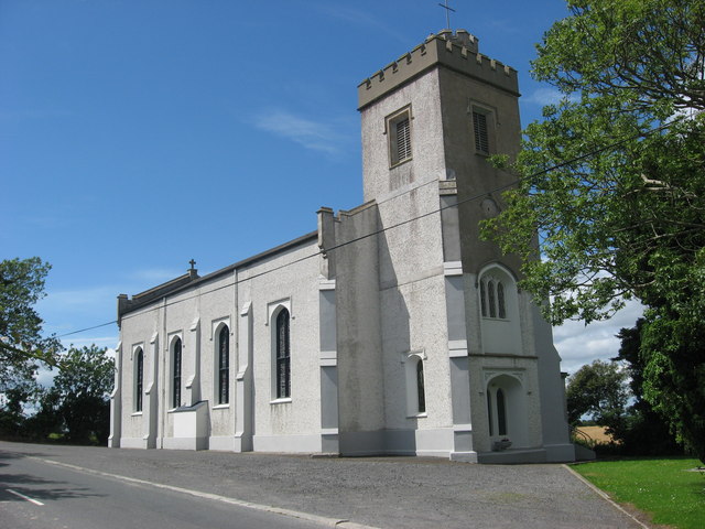 Catholic Church of Saint Peter and Saint Paulchurch/chapel · 1289 yd
 Enclosure in RinkinstownEnclosure · 1.0 mi
 Chapel (in Ruins), GraveyardChurch · 1.7 mi
 Moneyveg WoodForest · 1.7 mi
 Graveyard in DysartGraveyard · 2.0 mi
 Sweet baySweet bay · 2.2 mi
 BarmeathCastle, tower house · 2.2 mi
 Castle RuinsCastle, tower house · 2.6 mi
 Tullydonnell HillMountain / peak · 3.0 mi
 MonasterboiceEarly monastic site · 5.7 mi