What is recorded here
In gently undulating terrain, c. 150m N of a stream which flows roughly E-W into the River Nore c. 550m to the SE, in pasture. Identified on aerial photographs (ASIAP (111) 3-6, 22 July 2000). A circular enclosure (diam. 52m) defined by slight bank (Wth at crest 2.1m; overall Wth 7.6m; int. H 0.2m; ext. H 0.75m) which largely survives as broad scarp which is more pronounced in the N quadrant. A concentric enclosure (KK009-025----) lies 120m to the E.
Compiled by: Jean Farrelly
Date of revised upload: 9 May 2018
The monument record does not grant public access. Check the route and ask the landowner before entering private land.
- What survives
- Recorded monument
Places near here
 Concentric enclosure in ParksgroveConcentric enclosure · 221 yd
 Enclosure in Grange (fassadinin By.)Enclosure · 231 yd
 Grangemaccomb Church (in ruins)Church · 1112 yd
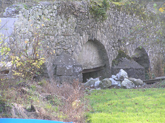 Grange Bridgebridge · 1284 yd
 Ballyragget Cas.Castle, tower house · 1.0 mi
 Donaghmore WellSpring · 1.6 mi
 Graveyard in SraleaghGraveyard · 2.3 mi
 Anker's IslandIsland · 2.4 mi
 Emma Jane Browne-ClaytonMemorial · 3.6 mi
 Red horse-chestnutRed horse-chestnut · 3.7 mi
 Freshford LoopWalking route · 4.2 mi