
What is recorded here
In lush pasture, on a gentle SSW-facing slope. Reported to the Archaeological Survey of Ireland as the cropmark of an enclosure. A circular cropmark is evident on aerial photography, however this could not be detected within the long grasses present during the site visit.
Compiled by: Alison McQueen and Vera Rahilly
Date of upload: 14 November 2014
The monument record does not grant public access. Check the route and ask the landowner before entering private land.
- What survives
- Recorded monument
Places near here
 Enclosure in ParkavonearEnclosure · 194 yd
 Round TowerRound tower · 744 yd
 Aghadoe Church (in Ruins)Church · 777 yd
 Aghadoe Early Medieval Ecclesiastical SiteHeritage attraction · 809 yd
 Parkavonear CastleCastle · 843 yd
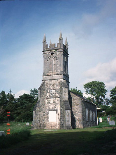 Aghadoe Churchchurch/chapel · 1190 yd
 Circular WalkWalking route · 2.0 mi
 Lamb IslandIsland · 2.0 mi
 Famine MemorialMemorial · 2.2 mi
 Rabbit or Brown IslandIslet · 2.2 mi
 Giant SequoiaGiant Sequoia · 2.3 mi
 Cairn of PeaceMemorial · 2.4 mi
Other information
Photo: Credit not shown in the picture search · Rights wording not checked; contact us if this picture should be removed