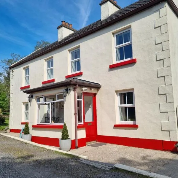
What is recorded here
Named 'Carraun' on the OS 6-inch 1st ed. map and shown, but not named on the 1912-16 edition of the 1:2500 plan. Classified by McCaffrey (1952, 117, no. 26b) as a circular 'Enclosure' (diam. c. 23m) defined by a 'ring of large slabs'. There is no visible surface trace.
Compiled by: Paul Walsh
Date of upload: 2 March 2015
The monument record does not grant public access. Check the route and ask the landowner before entering private land.
- What survives
- Recorded monument
Places near here
 IndicatedFairy fort / stone ringfort · 502 yd
 Enclosure in Derrydonnell More,moyveelaEnclosure · 1263 yd
 Derrydonnell Castle (in ruins)Castle, tower house · 1696 yd
 TemplegalChurch · 1.1 mi
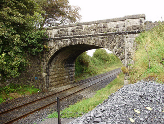 Derrydonnell Bridgebridge · 1.5 mi
 Bawn in MoyveelaBawn · 1.6 mi
 Loughaun WoodWood · 3.6 mi
 Kilcornan ForestWood · 4.0 mi
 Athenry AbbeyHeritage attraction · 4.1 mi
 Athenry CastleHeritage attraction · 4.1 mi
 First Battle of Athenrybattle · 4.3 mi
 Rabbit IslandIslet · 7.1 mi
Other information
Photo: Credit not shown in the picture search · Rights wording not checked; contact us if this picture should be removed